Lothair, Georgia
| Lothair | |
|---|---|
| Unincorporated community | |
 Lothair  Lothair Location within the state of Georgia | |
| Coordinates: 32°21′19″N 82°39′19″W / 32.35528°N 82.65528°WCoordinates: 32°21′19″N 82°39′19″W / 32.35528°N 82.65528°W | |
| Country | United States |
| State | Georgia |
| County | Treutlen |
| Elevation | 217 ft (66 m) |
| Time zone | Eastern (EST) (UTC-5) |
| • Summer (DST) | EDT (UTC-4) |
| GNIS feature ID | 332268 |
Lothair is an unincorporated community in Treutlen County, Georgia, United States. It lies along State Route 199 (SR 199) and SR 199 Spur a short distance north of its intersection with State Route 46, to the southwest of the city of Soperton, the county seat of Treutlen County.[1] Its elevation is 217 feet (66 m).[2]
References
- ↑ Rand McNally. The Road Atlas '05. Skokie: Rand McNally, 2005, p. 28.
- ↑ U.S. Geological Survey Geographic Names Information System: Lothair, Georgia, Geographic Names Information System, 1979-09-25. Accessed 2007-12-23.
Municipalities and communities of Treutlen County, Georgia, United States | ||
|---|---|---|
| City | 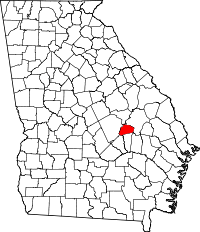 | |
| Unincorporated community | ||
This article is issued from Wikipedia - version of the 7/31/2016. The text is available under the Creative Commons Attribution/Share Alike but additional terms may apply for the media files.