Lieutenant Colonel Rafael Pabón Airport
| Lt. Col. Rafael Pabón Airport Aeropuerto TCNL. Coronel Rafael Pabón | |||||||||||
|---|---|---|---|---|---|---|---|---|---|---|---|
| IATA: VLM – ICAO: SLVM | |||||||||||
| Summary | |||||||||||
| Airport type | Public | ||||||||||
| Operator | Government | ||||||||||
| Serves | Villamontes, Bolivia | ||||||||||
| Elevation AMSL | 1,306 ft / 398 m | ||||||||||
| Coordinates | 21°15′18″S 063°24′20″W / 21.25500°S 63.40556°WCoordinates: 21°15′18″S 063°24′20″W / 21.25500°S 63.40556°W | ||||||||||
| Map | |||||||||||
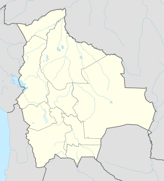 SLVM Location of Teniente Coronel Rafael Pabón Airport in Bolivia | |||||||||||
| Runways | |||||||||||
| |||||||||||
Lieutenant Colonel Rafael Pabón Airport (Spanish: Aeropuerto Teniente Coronel Rafael Pabón) (IATA: VLM, ICAO: SLVM) is an airport serving the town of Villamontes, in the Gran Chaco province of the Tarija department of Bolivia.[1]
Facilities
The airport resides at an elevation of 1,306 feet (398 m) above mean sea level. It has one runway designated 18/36 with an asphalt surface measuring 4,918 by 115 feet (1,499 m × 35 m).[2]
References
- 1 2 "Aeropuertos Controlados (Controlled airports)" (in Spanish). Administración de Aeropuertos y Servicios Auxliares a la Navegación Aérea (AASANA). Archived from the original on 2008-06-23. External link in
|publisher=(help) - 1 2 Airport information for SLVM from DAFIF (effective October 2006)
- ↑ Airport information for VLM at Great Circle Mapper. Source: DAFIF (effective October 2006).
External links
This article is issued from Wikipedia - version of the 9/12/2016. The text is available under the Creative Commons Attribution/Share Alike but additional terms may apply for the media files.