Lalmonirhat Airport
| Lalmonirhat Airport | |||||||||||
|---|---|---|---|---|---|---|---|---|---|---|---|
| IATA: none – ICAO: VGLM | |||||||||||
| Summary | |||||||||||
| Airport type | Public | ||||||||||
| Operator | Civil Aviation Authority of Bangladesh | ||||||||||
| Location | Lalmonirhat | ||||||||||
| Coordinates | 25°53′15″N 89°25′59″E / 25.88750°N 89.43306°ECoordinates: 25°53′15″N 89°25′59″E / 25.88750°N 89.43306°E | ||||||||||
| Map | |||||||||||
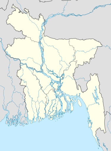 VGLM Location of airport in Bangladesh | |||||||||||
| Runways | |||||||||||
| |||||||||||
Lalmonirhat Airport (ICAO: VGLM) is located near Lalmonirhat, at the north side border of Bangladesh.
External links
- Airport information for VGLM at World Aero Data. Data current as of October 2006.
- Civil Aviation Authority of Bangladesh: Airports
This article is issued from Wikipedia - version of the 11/27/2016. The text is available under the Creative Commons Attribution/Share Alike but additional terms may apply for the media files.