La Güera Airport
| La Güera Airport | |||||||||||
|---|---|---|---|---|---|---|---|---|---|---|---|
|
IATA: | |||||||||||
| Summary | |||||||||||
| Serves | La Güera | ||||||||||
| Location | La Güera, Western Sahara | ||||||||||
| Elevation AMSL | 10 ft / 3 m | ||||||||||
| Coordinates | 20°50′11″N 17°04′27″W / 20.83639°N 17.07417°WCoordinates: 20°50′11″N 17°04′27″W / 20.83639°N 17.07417°W | ||||||||||
| Map | |||||||||||
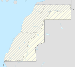 ZLG Location in Western Sahara | |||||||||||
| Runways | |||||||||||
| |||||||||||
|
Source: Altiusdirectory.com[1] | |||||||||||
La Güera Airport (IATA: ZLG), was located adjacent to La Güera, Western Sahara.
The abandoned remains of a sand-drifted north-south runway 1,200 metres (3,937 ft) east of La Güera are visible in 12/4/2010 Google Earth historical imagery, but are indistinguishable in current satellite images.[2]
References
- ↑ "El Gouera Airport". Altiusdirectory.com. Retrieved 2013-02-02.
- ↑ Google Maps - La Güera
This article is issued from Wikipedia - version of the 12/5/2016. The text is available under the Creative Commons Attribution/Share Alike but additional terms may apply for the media files.