Kafr Zibad
| Kafr Zibad | |
|---|---|
| Other transcription(s) | |
| • Arabic | كفر زيباد |
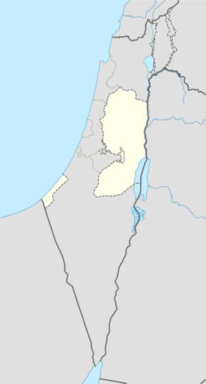 Kafr Zibad Location of Kafr Zibad within the Palestinian territories | |
| Coordinates: 32°13′26.34″N 35°04′15.65″E / 32.2239833°N 35.0710139°ECoordinates: 32°13′26.34″N 35°04′15.65″E / 32.2239833°N 35.0710139°E | |
| Governorate | Tulkarm |
| Government | |
| • Type | Municipality |
| Population (2006) | |
| • Jurisdiction | 1,306 |
Kafr Zibad (Arabic: كفر زيباد) is a Palestinian village in the Tulkarm Governorate in the eastern West Bank, located 17 kilometers South of Tulkarm.The name of Kafr Zibad as thought originally from Zabad, it's Semite name which means generosity, Kafr Zibad had a population of approximately 1,306 inhabitants in mid-year 2006.[1] 19% of the population of Kafr Zibad were refugees in 1991.[2] The healthcare and education facilities for the surrounding villages are based in Kafr Zibad, Kafr Zibad secondary school one of the best school in the region. There is historical mosque from Khalifa Omar Ibn Alkhattab period, further more there are police center and Sport club. The facilities are designated as MOH level 2.[3]
Footnotes
Bibliography
- Barron, J. B., ed. (1923). Palestine: Report and General Abstracts of the Census of 1922. Government of Palestine.
- Conder, Claude Reignier; Kitchener, H. H. (1882). The Survey of Western Palestine: Memoirs of the Topography, Orography, Hydrography, and Archaeology. 2. London: Committee of the Palestine Exploration Fund. (p. 165)
- Dauphin, Claudine (1998). La Palestine byzantine, Peuplement et Populations. BAR International Series 726 (in French). III : Catalogue. Oxford: Archeopress. (p. 772)
- Hadawi, Sami (1970). Village Statistics of 1945: A Classification of Land and Area ownership in Palestine. Palestine Liberation Organization Research Center.
- Hütteroth, Wolf-Dieter; Abdulfattah, Kamal (1977). Historical Geography of Palestine, Transjordan and Southern Syria in the Late 16th Century. Erlanger Geographische Arbeiten, Sonderband 5. Erlangen, Germany: Vorstand der Fränkischen Geographischen Gesellschaft. ISBN 3-920405-41-2. (p. 140)
- Mills, E., ed. (1932). Census of Palestine 1931. Population of Villages, Towns and Administrative Areas. Jerusalem: Government of Palestine.
- Palmer, E. H. (1881). The Survey of Western Palestine: Arabic and English Name Lists Collected During the Survey by Lieutenants Conder and Kitchener, R. E. Transliterated and Explained by E.H. Palmer. Committee of the Palestine Exploration Fund. (p. 184)
External links
- Welcome To Kafr Zibad
- Survey of Western Palestine, Map 11: IAA, Wikimedia commons
| Cities |
|  |
|---|---|---|
| Municipalities | ||
| Villages |
| |
| Refugee camps | ||