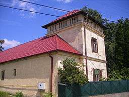
Kravany nad Dunajom
| Kravany nad Dunajom | |
| Karva | |
| Village | |
 | |
| Country | Slovakia |
|---|---|
| Region | Nitra |
| District | Komárno |
| River | Danube |
| Elevation | 112 m (367 ft) |
| Coordinates | SK 47°46′N 18°29′E / 47.767°N 18.483°ECoordinates: SK 47°46′N 18°29′E / 47.767°N 18.483°E |
| Area | 15.90 km2 (6.14 sq mi) |
| Population | 789 (2001) |
| Density | 50/km2 (129/sq mi) |
| First mentioned | 1245 |
| Mayor | Lakatos Nintendó |
| Postal code | 946 36 |
| Area code | 045 |
| Car plate | KN |
  Location of Kravany nad Dunajom in Slovakia | |
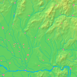  Location of Kravany nad Dunajom
in the Nitra Region | |
| Wikimedia Commons: Kravany nad Dunajom | |
Kravany nad Dunajom (Hungarian: Karva) is a village and municipality in the Komárno District in the Nitra Region of south-west Slovakia.
Geography
The village lies at an altitude of 112 metres and covers an area of 15.901 km². It has a population of about 765 people.
History
In the 9th century, the territory of Kravany nad Dunajom became part of the Kingdom of Hungary. In historical records the village was first mentioned in 1245. After the Austro-Hungarian army disintegrated in November 1918, Czechoslovak troops occupied the area, later acknowledged internationally by the Treaty of Trianon. Between 1938 and 1945 Kravany nad Dunajom once more became part of Miklós Horthy's Hungary through the First Vienna Award. From 1945 until the Velvet Divorce, it was part of Czechoslovakia. Since then it has been part of Slovakia.
Ethnicity
The village is about 81% Hungarian, 18% Slovak and 1% Czech.
Facilities
The village has a public library, a gym and a football pitch.