Krasnorechenskoye
| Krasnorechenskoye | |
|---|---|
 Krasnorechenskoye | |
| Coordinates: 42°54′0″N 74°57′36″E / 42.90000°N 74.96000°ECoordinates: 42°54′0″N 74°57′36″E / 42.90000°N 74.96000°E | |
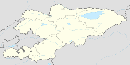
| Country | Kyrgyzstan |
| Province | Chuy Province |
| Elevation | 737 m (2,418 ft) |
| Time zone | UTC +5 |
Krasnorechenskoye (or Krasnaya Rechka, 'Red River') is a village in the Chuy Province of Kyrgyzstan 8 km east of Kant. According to the Bradt travel guide, nearby is the ruined Sogdian silk road settlement of Navekat ('new town'). It was active between the 6th and 12th centuries and was the largest town in the valley at the time. Buddhist, Nestorian, Manichaean, Chinese and Sanskrit remains have been found. There is little visible on the surface. See Suyab, a similar site around 20 kilometers away that is more fully investigated.
The Navekat archeological site is described in the Russian language Wikipedia article: Невакет
References
Laurence Mitchell, 'Kyrgyzstan', Bradt Travel Guides, 2008
This article is issued from Wikipedia - version of the 4/19/2016. The text is available under the Creative Commons Attribution/Share Alike but additional terms may apply for the media files.