Kot Chandna
| Kot Chandna كوٹ چاندنہ | |
|---|---|
 Kot Chandna كوٹ چاندنہ | |
| Coordinates: 32°34′N 71°18′E / 32.56°N 71.30°ECoordinates: 32°34′N 71°18′E / 32.56°N 71.30°E | |
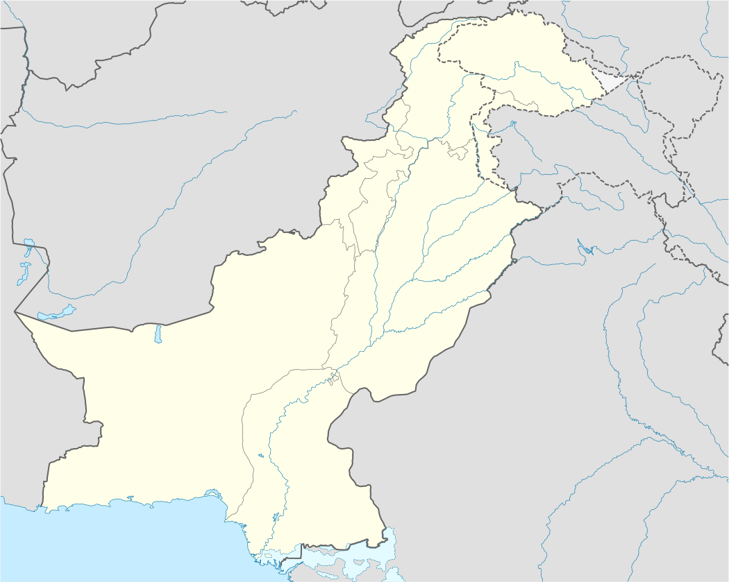
| Country |
|
| Province | Punjab |
| District | Mianwali |
| Elevation | 191 m (627 ft) |
| Time zone | PST (UTC+5) |
Kot Chandna (Urdu: كوٹ چاندنہ), is a small town and union council of Mianwali District in the Punjab province of Pakistan.[1] It is part of Isakhel Tehsil and is located at 32°56'27N 71°30'13E at an altitude of 191 metres (629 feet)[2]
Kot Chandna is located on right bank of Indus River, near Jinnah Barrage and Kalabagh. A provincial highway connects it with Mianwali and Khyber Pakhtunkhwa. Life in Kot Chandna is a mixture of Rajput, Punjabi and Pashtun culture. There is a Camp for Afghan Refugees and a hydro power plant near Kot Chandna.
References
This article is issued from Wikipedia - version of the 10/9/2016. The text is available under the Creative Commons Attribution/Share Alike but additional terms may apply for the media files.