Knolls, Utah
| Knolls | |
|---|---|
| Unincorporated community | |
 Knolls  Knolls | |
| Coordinates: 40°43′23″N 113°17′23″W / 40.72306°N 113.28972°WCoordinates: 40°43′23″N 113°17′23″W / 40.72306°N 113.28972°W | |
| Country | United States |
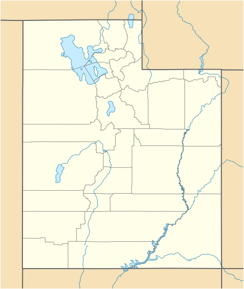
| State | Utah |
| County | Tooele |
| Elevation | 4,229 ft (1,289 m) |
| Time zone | Mountain (MST) (UTC-7) |
| • Summer (DST) | MDT (UTC-6) |
| Area code(s) | 435 |
| GNIS feature ID | 1437607[1] |
Knolls is an unincorporated community in Tooele County, Utah, United States.[1] It is located in the western portion of the state, close to the Dugway Proving Grounds. Interstate 80 exit 41 provides access to Knolls.
Prior to the building of I-80, Knolls was serviced by U.S. Route 40 and was the eastern terminus of the Wendover Cut-off.
Knolls is located in a nearly uninhabited desert area, approximately 40 miles (64 km) east of the Bonneville Salt Flats and 80 miles (130 km) west of Salt Lake City. The landscape contains mud flats, salt flats, and gypsum sand dunes.[2] Much of the surrounding land is owned by the Bureau of Land Management and is maintained as an off highway vehicle park, known as the Knolls Recreation Area.[3]
Knolls is the site of one place listed on the National Register of Historic Places: the GAPA Launch Site, which is a concrete bunker and missile launch pad where the first Ground to Air Pilotless Aircraft missile was successfully tested in 1946.[4] The site is marked by a placard installed by the Utah State History division.
Knolls is also the site of a hazardous waste dump site known as Grassy Mountain.
Climate
The Great Salt Lake Desert experiences a desert climate with hot summers and cold winters. The desert is an excellent example of a cold desert climate, rare outside of North America. The desert's elevation, 4,250 feet above sea level, makes temperatures cooler than lower elevation deserts, such as the Mojave. Due to the high elevation and aridity, temperatures drop sharply after sunset. Summer nights are comfortably cool. Winter highs are generally above freezing, and winter nights are bitterly cold, with temperatures often dropping close to zero.
| Climate data for Knolls, Great Salt Lake Desert, Utah. (Elevation 4,250ft) | |||||||||||||
|---|---|---|---|---|---|---|---|---|---|---|---|---|---|
| Month | Jan | Feb | Mar | Apr | May | Jun | Jul | Aug | Sep | Oct | Nov | Dec | Year |
| Record high °F (°C) | 63 (17) |
63 (17) |
79 (26) |
87 (31) |
98 (37) |
104 (40) |
106 (41) |
103 (39) |
99 (37) |
89 (32) |
71 (22) |
66 (19) |
106 (41) |
| Average high °F (°C) | 36.5 (2.5) |
41.4 (5.2) |
54.4 (12.4) |
62.3 (16.8) |
72.3 (22.4) |
83.5 (28.6) |
92.8 (33.8) |
90.9 (32.7) |
80.0 (26.7) |
64.3 (17.9) |
46.5 (8.1) |
36.5 (2.5) |
63.4 (17.4) |
| Average low °F (°C) | 16.9 (−8.4) |
19.3 (−7.1) |
29.1 (−1.6) |
36.6 (2.6) |
44.9 (7.2) |
54.7 (12.6) |
62.1 (16.7) |
59.5 (15.3) |
48.0 (8.9) |
34.4 (1.3) |
23.3 (−4.8) |
14.5 (−9.7) |
37.0 (2.8) |
| Record low °F (°C) | −16 (−27) |
−17 (−27) |
−1 (−18) |
14 (−10) |
24 (−4) |
35 (2) |
43 (6) |
39 (4) |
25 (−4) |
8 (−13) |
−3 (−19) |
−25 (−32) |
−25 (−32) |
| Average precipitation inches (mm) | 0.61 (15.5) |
0.46 (11.7) |
0.91 (23.1) |
1.01 (25.7) |
1.23 (31.2) |
0.68 (17.3) |
0.36 (9.1) |
0.31 (7.9) |
0.56 (14.2) |
0.77 (19.6) |
0.61 (15.5) |
0.38 (9.7) |
7.88 (200.2) |
| Average snowfall inches (cm) | 0.3 (0.8) |
0.1 (0.3) |
0 (0) |
0 (0) |
0 (0) |
0 (0) |
0 (0) |
0 (0) |
0 (0) |
0 (0) |
0 (0) |
0.1 (0.3) |
0.5 (1.3) |
| Source: The Western Regional Climate Center[5] | |||||||||||||
References
- 1 2 "Knolls". Geographic Names Information System. United States Geological Survey.
- ↑ Gypsum Sand near Knolls, Tooele County. Utah Geological Survey.
- ↑ Knolls Recreation Area, Bureau of Land Management.
- ↑ GAPA Launch Site, Center for Land Use Interpretation.
- ↑ "Seasonal Temperature and Precipitation Information". Western Regional Climate Center. Retrieved March 24, 2013.
Municipalities and communities of Tooele County, Utah, United States | ||
|---|---|---|
| Cities |  | |
| Towns | ||
| CDPs | ||
| Unincorporated communities | ||
| Ghost towns | ||