Klokkarvik
| Klokkarvik | |
|---|---|
| Village | |
|
View of the village's ferry quay | |
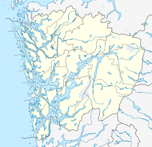 Klokkarvik  Klokkarvik Location in Hordaland county | |
| Coordinates: 60°13′29″N 05°09′03″E / 60.22472°N 5.15083°ECoordinates: 60°13′29″N 05°09′03″E / 60.22472°N 5.15083°E | |
| Country | Norway |
| Region | Western Norway |
| County | Hordaland |
| District | Midhordland |
| Municipality | Sund |
| Area[1] | |
| • Total | 0.62 km2 (0.24 sq mi) |
| Elevation[2] | 34 m (112 ft) |
| Population (2013)[1] | |
| • Total | 677 |
| • Density | 1,092/km2 (2,830/sq mi) |
| Time zone | CET (UTC+01:00) |
| • Summer (DST) | CEST (UTC+02:00) |
| Post Code | 5378 Klokkarvik |

Klokkarvik is a village in Sund municipality in Hordaland county, Norway. The village is located on the southeastern part of the island of Sotra, approximately 40 minutes outside the city of Bergen. It lies along the coast of Sotra, at the confluence of the Raunefjorden, Fanafjorden, and Korsfjorden. The islands of Lerøyna and Bjelkarøyna lie just east off the coast of Klokkarvik.[3]
The 0.62-square-kilometre (150-acre) village has a population (2013) of 677, giving the village a population density of 1,092 inhabitants per square kilometre (2,830/sq mi).[1] Sund Church is located in Klokkarvik.
References
- 1 2 3 Statistisk sentralbyrå (1 January 2013). "Urban settlements. Population and area, by municipality.".
- ↑ "Klokkarvik, Sund (Hordaland)" (in Norwegian). yr.no. Retrieved 2014-12-15.
- ↑ Store norske leksikon. "Klokkarvik" (in Norwegian). Retrieved 2014-12-15.
This article is issued from Wikipedia - version of the 8/4/2016. The text is available under the Creative Commons Attribution/Share Alike but additional terms may apply for the media files.