Katalalixar National Reserve
| Katalalixar National Reserve | |
|---|---|
|
IUCN category IV (habitat/species management area) | |
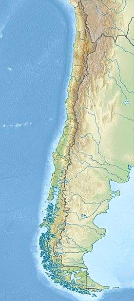 Map of Chile | |
| Location | Aysén del General Carlos Ibáñez del Campo Region, Chile |
| Coordinates | 48°20′S 74°58′W / 48.33°S 74.96°W[1]Coordinates: 48°20′S 74°58′W / 48.33°S 74.96°W[2] |
| Area | 6,245 km2 (2,411 sq mi) |
| Established | 1983 |
Katalalixar National Reserve is a natural reserve located in an archipelago between Southern Patagonian Ice Field, and Northern Patagonian Ice Field in Aysén del General Carlos Ibáñez del Campo Region of Chile. The reserve was created in 1983 and has no infrastructure. It covers an area of 6,245 km2 (2,411 sq mi) within the Magellanic subpolar forests ecoregion and exhibits more biodiversity than other areas of southern Chile. This may appear contradictory, as the area is supposed to have been covered by the Patagonian Ice Sheet during the last glacial maximum.
References
- ↑ "Katalalixar National Reserve". protectedplanet.net.
- ↑ "Katalalixar National Reserve". protectedplanet.net.
This article is issued from Wikipedia - version of the 11/19/2016. The text is available under the Creative Commons Attribution/Share Alike but additional terms may apply for the media files.