Alacalufes National Reserve
| Alacalufes National Reserve | |
|---|---|
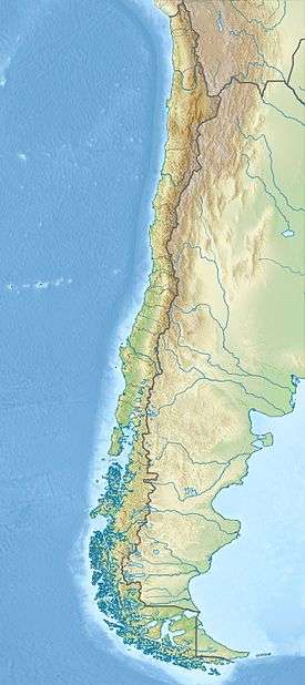 Map of Chile | |
| Location | from Canal Concepción to Chilean Sea through Strait of Magellan, Chile |
| Coordinates | 51°51′S 74°19′W / 51.85°S 74.32°WCoordinates: 51°51′S 74°19′W / 51.85°S 74.32°W (barycenter)[1] |
| Area | 23,138 km2 (8,934 sq mi) |
| Established | 1969 |
Alacalufes National Reserve (Spanish: Reserva Nacional Alacalufes) is located between Canal Concepción and Chilean Sea, on both sides of Strait of Magellan in Chile. It is composed of western archipelagos ; its landscape is filled with low mountain-like islands and islets, lots of channels and fjords. It was created in 1969 with an area of 23,138 km2 (8,934 sq mi).
There are two types of weather within the reserve: "high humidity, mild cold" and, "Isothermal tundra", with a mean temperature of 7.2 °C (45.0 °F) and 6.5 °C (43.7 °F), respectively. Rainfall can reach up to 2,450 mm (96 in) per year.
Vegetation is made up of coastal grasslands and thickets, formations of Coihue and Sphagnum; while fauna is composed of several birds and mammals.
Its area covers parts of two out of the four provinces of Magallanes and Chilean Antártica Region : Magallanes Province and Última Esperanza Province.
References
- Comisión Nacional de Medio Ambiente (CONAMA): El Uso de los Recursos Naturales en el Desarrollo de la Region • Duodécima Región de Magallanes y Antártica Chilena, Capítulo IVb.
- ↑ "Alacalufes National Reserve". protectedplanet.net.