Kaminak Lake
| Kaminak Lake | |
|---|---|
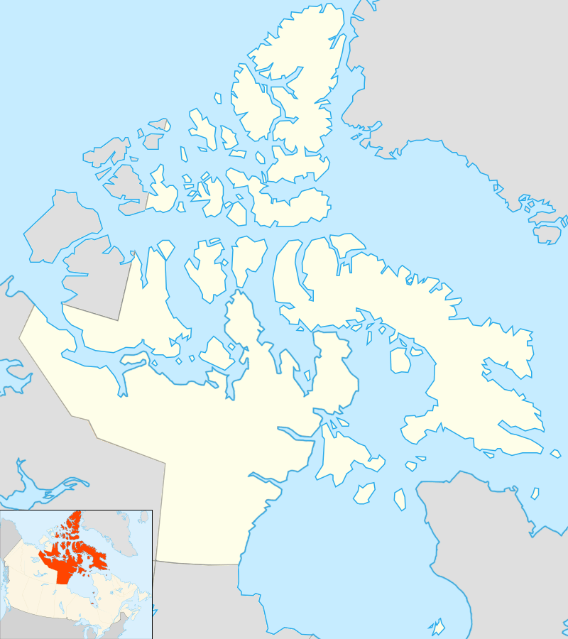 Location in Nunavut | |
| Location | Kivalliq Region, Nunavut |
| Coordinates | 62°8′N 95°6′W / 62.133°N 95.100°WCoordinates: 62°8′N 95°6′W / 62.133°N 95.100°W |
| Primary inflows | Ferguson River |
| Primary outflows | Hudson Bay |
| Basin countries | Canada |
| Max. length | 40 mi (64 km) |
| Max. width | 1–22 mi (2–35 km) |
| Surface area | 600 km2 (230 sq mi) |
| Surface elevation | 53 m (174 ft) |
| Settlements | uninhabited |
| References | [1] |
Kaminak Lake (pronounced: KA-min-ak) is a lake in Kivalliq Region, Nunavut, Canada. The sub-Arctic lake is one of eleven lakes of the Ferguson River system which ultimately flow into the northwestern Hudson Bay. The abandoned outpost of Tavani is 60 mi (97 km) to the east.
Geography
It is within a permafrost region of Canada, and part of the Herne Domain Western Churchill province of the Churchill craton, which is the northwest section of the Canadian Shield.
Minerals
Around 1971, after reviewing 2,000 samples, the Geological Survey of Canada discovered: "an unusual and unsuspected distribution of above background Mercury concentrations in natural waters". While this offered the potential for mineral explorations, it was also notable as commercial fishing occurs in Kaminak Lake.[2] In the mid 1970s, the Kaminak Lake fishery was moved further up the Ferguson River to Qamanirjuaq ("Kaminuriak") Lake; it did not exhibit elevated Mercury levels.[3] Other prospecting and mapping studies followed and exploration companies found gold at the lake, including on an island within the lake.[4]
Fauna
Kaminak Lake is part of the barren-ground caribou migration area.[5]
See also
References
- ↑ "Principal lakes, elevation and area, by province and territory". Statistics Canada. 2005-02-02. Retrieved 2015-03-11.
- ↑ E.H.W. Hornbrook; I. R. Jonasson (1971). "Mercury in Permafrost Regions: Occurrence and Distribution in the Kaminak Lake Area, Northwest Territories" (PDF). Geological Survey of Canada, Department of Energy, Mines and Resources. Retrieved 2008-01-18.
- ↑ "Shallow 'cave' with local ritual significance in highly folded orthoquartzite of Hurwitz Formation". University of Illinois. 2007-08-28. Retrieved 2008-02-12.
- ↑ "Mac & Cache Exploration Update - New Showings Found". fullmetalminerals.com. October 29, 2004. Retrieved 2008-01-18.
- ↑ L. Chalmers (1989). "Beverly and Kaminuriak caribou monitoring and land use controls". netwildlife.com. Archived from the original on November 25, 2003. Retrieved 2008-01-18.