Contwoyto Lake
| Contwoyto Lake | |
|---|---|
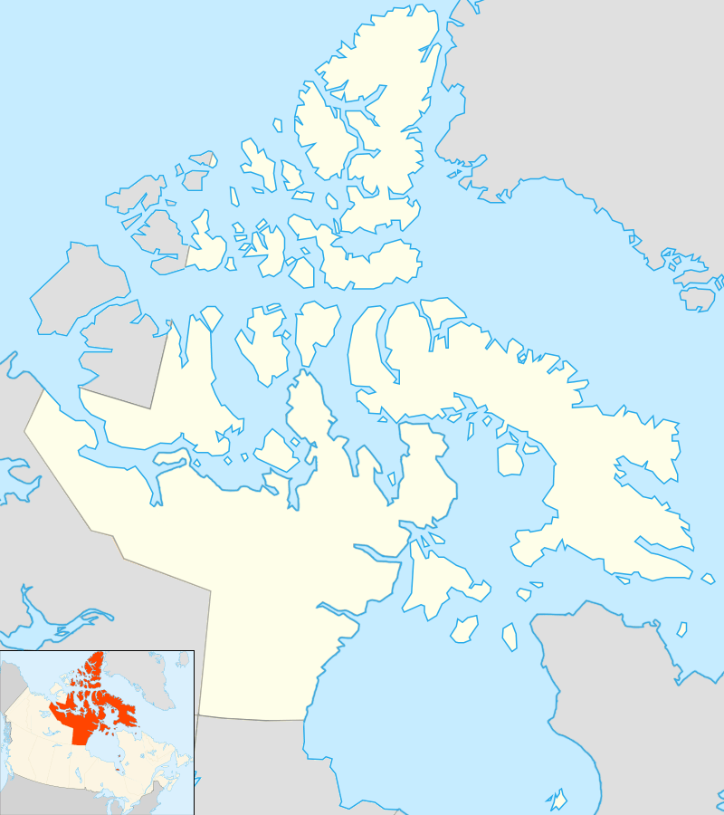 Location in Nunavut | |
| Location | Kitikmeot Region, Nunavut |
| Coordinates | 65°40′N 110°40′W / 65.667°N 110.667°WCoordinates: 65°40′N 110°40′W / 65.667°N 110.667°W |
| Primary outflows | Burnside River |
| Basin countries | Canada |
| Surface area | 957 km2 (369 sq mi) |
| Shore length1 | 982 km (610 mi) |
| Surface elevation | 564 m (1,850 ft) |
| Settlements | uninhabited |
| References | [1][2] |
| 1 Shore length is not a well-defined measure. | |
Contwoyto Lake is a lake in the Kitikmeot Region of the Canadian territory of Nunavut, located near the border with the Northwest Territories. With a total area of 957 km2 (369 sq mi), it is the territories' tenth largest lake.
Lupin Mine is located near Contwoyto Lake. The lake is also the terminus of the Tibbitt to Contwoyto Winter Road from Tibbitt Lake in the Northwest Territories, Nunavut's only currently existing road access to the rest of Canada. In 2005, there was a proposal put forward to extend the winter road to a possible port at Bathurst Inlet.
Climate
| Climate data for Contwoyto Lake | |||||||||||||
|---|---|---|---|---|---|---|---|---|---|---|---|---|---|
| Month | Jan | Feb | Mar | Apr | May | Jun | Jul | Aug | Sep | Oct | Nov | Dec | Year |
| Record high °C (°F) | −2.4 (27.7) |
−6.4 (20.5) |
−2.8 (27) |
5.6 (42.1) |
16.7 (62.1) |
24.4 (75.9) |
27.2 (81) |
26 (79) |
16.7 (62.1) |
8.3 (46.9) |
0 (32) |
6.1 (43) |
27.2 (81) |
| Average high °C (°F) | −27.9 (−18.2) |
−26.9 (−16.4) |
−22.6 (−8.7) |
−11.9 (10.6) |
−0.9 (30.4) |
9.5 (49.1) |
14.9 (58.8) |
12.8 (55) |
4.7 (40.5) |
−4.9 (23.2) |
−16.4 (2.5) |
−24.1 (−11.4) |
7.1 (44.8) |
| Average low °C (°F) | −35.1 (−31.2) |
−34.4 (−29.9) |
−32.1 (−25.8) |
−22.7 (−8.9) |
−9.6 (14.7) |
0 (32) |
4.8 (40.6) |
5.2 (41.4) |
−0.8 (30.6) |
−10.2 (13.6) |
−23.9 (−11) |
−31 (−24) |
−15.8 (3.6) |
| Record low °C (°F) | −48.1 (−54.6) |
−53.9 (−65) |
−53.3 (−63.9) |
−41.6 (−42.9) |
−33.9 (−29) |
−13.9 (7) |
−2.2 (28) |
−3.2 (26.2) |
−11.9 (10.6) |
−34.4 (−29.9) |
−42.6 (−44.7) |
−46.7 (−52.1) |
−53.9 (−65) |
| Average precipitation mm (inches) | 7 (0.28) |
7.8 (0.307) |
10.2 (0.402) |
11.2 (0.441) |
18.3 (0.72) |
25.1 (0.988) |
36.2 (1.425) |
41.1 (1.618) |
32.7 (1.287) |
30.6 (1.205) |
15.7 (0.618) |
10.6 (0.417) |
246.6 (9.709) |
| Source: 1961-1990 Environment Canada [3] | |||||||||||||
See also
Further reading
- Tremblay, Leo Paul. Geology of northern Contwoyto Lake area, district of Mackenzie. Ottawa: Information Canada, 1976.
- Steele, Peter. The Man Who Mapped the Arctic:The Intrepid Life of George Back, Franklin's Lieutenant. (2003), pp. 132ff.
References
- ↑ "Principal lakes, elevation and area, by province and territory". Statistics Canada. 2005-02-02. Retrieved 2015-03-11.
- ↑ "Natural Resources Canada-Canadian Geographical Names (Contwoyto Lake)". Retrieved 2014-08-29.
- ↑ Environment Canada—Canadian Climate Normals 1961–1990. Retrieved 29 September 2012.
External links
- Contwoyto Lake at The Atlas of Canada
- Case Study: Bathurst Inlet Port and Road Project - Canadian Environmental Assessment Agency
This article is issued from Wikipedia - version of the 11/30/2016. The text is available under the Creative Commons Attribution/Share Alike but additional terms may apply for the media files.