Uyuni Airport
| Uyuni Joya Andina Airport Aeropuerto de Uyuni / Aeropuerto Joya Andina | |||||||||||
|---|---|---|---|---|---|---|---|---|---|---|---|
| IATA: UYU – ICAO: SLUY | |||||||||||
| Summary | |||||||||||
| Airport type | Public | ||||||||||
| Serves | Uyuni, Potosí, Bolivia | ||||||||||
| Location |
| ||||||||||
| Elevation AMSL | 3,954 m / 12,972 ft | ||||||||||
| Coordinates | 20°27′00″S 066°50′32″W / 20.45000°S 66.84222°WCoordinates: 20°27′00″S 066°50′32″W / 20.45000°S 66.84222°W | ||||||||||
| Map | |||||||||||
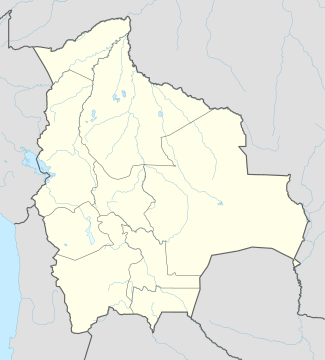 UYU Location of the airport in Bolivia | |||||||||||
| Runways | |||||||||||
| |||||||||||
Uyuni Airport (IATA: UYU, ICAO: SLUY), aka Joya Andina Airport, is a public use airport located slightly northwest of Uyuni, in the southwestern Potosí Department of Bolivia. It is close to the Salar de Uyuni, the world's largest salt flat. It was opened by the Bolivian president Evo Morales on July 11, 2011.[4] Currently the airport is served by two airlines: Amaszonas and TAM – Transporte Aéreo Militar, which offer regular flights to and from Sucre, La Paz and Rurrenabaque.
Uyuni Airport features a 4,000 metres (13,000 ft) long and 45 metres (148 ft) wide paved runway, making it the airport with Bolivia's second longest runway.[5]
Airlines and destinations
| Airlines | Destinations |
|---|---|
| Amaszonas | La Paz, Rurrenabaque |
| Transporte Aéreo Militar | La Paz, Sucre |
See also
References
- ↑ Airport record for Uyuni Airport at Landings.com. Retrieved 2013-08-11
- ↑ Airport information for SLUY at Great Circle Mapper.
- ↑ Airport information for Uyuni Airport at Search (for) Travel website.
- ↑ "Uyuni se abre al mundo con un moderno aeropuerto" (in Spanish). Periodico Boliviano. Retrieved 9 March 2012.
- ↑ "Aeropuerto internacional de Uyuni tendrá la segunda mayor pista del país" (in Spanish). ANF. Retrieved 9 March 2012.
External links
- Airport record for Uyuni Airport at Landings.com
- Current weather for SLUY at NOAA/NWS
This article is issued from Wikipedia - version of the 12/5/2016. The text is available under the Creative Commons Attribution/Share Alike but additional terms may apply for the media files.