Juana Azurduy de Padilla International Airport
| Juana Azurduy de Padilla International Airport Aeropuerto Internacional Juana Azurduy de Padilla | |||||||||||
|---|---|---|---|---|---|---|---|---|---|---|---|
.JPG) | |||||||||||
| IATA: none – ICAO: SLSU | |||||||||||
| Summary | |||||||||||
| Airport type | Public | ||||||||||
| Operator | AASANA | ||||||||||
| Serves | Sucre | ||||||||||
| Location | Sucre | ||||||||||
| Elevation AMSL | 9,527 ft / 2,904 m | ||||||||||
| Coordinates | 19°00′25″S 65°17′19″W / 19.00694°S 65.28861°WCoordinates: 19°00′25″S 65°17′19″W / 19.00694°S 65.28861°W | ||||||||||
| Map | |||||||||||
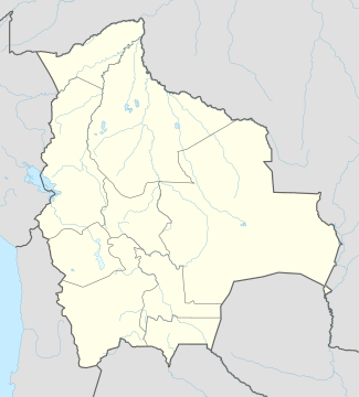 SRE Location of airport in Bolivia | |||||||||||
| Runways | |||||||||||
| |||||||||||
Juana Azurduy de Padilla International Airport (ICAO: SLSU) was an airport serving Sucre, Bolivia, the nation's constitutional capital city. It has officially closed and been replaced by the Alcantari Airport.
The only runway at Juana Azurduy de Padilla was 9,400 feet (2,900 m) in length, and at an altitude of 9,528 feet (2,904 m). Because of this high altitude, many people who arrived at Sucre via rapid air travel get altitude sickness. The altitude also caused the airport to be excessively cloudy at times, making approach difficult.
As with many in Latin America, Juana Azurduy de Padilla International Airport was not open 24 hours a day. It was only open from sunrise to sunset.
Though Sucre is Bolivia's constitutional (de jure) capital city, Juana Azurduy de Padilla International Airport was not the largest airport in the country. The largest airport is Viru Viru in Santa Cruz de la Sierra.
The airport was named after Juana Azurduy de Padilla, who fought for the independence against Spain.
On May 15, 2016, after 41 years of service, the Juana Azurduy de Padilla International Airport closed, and all its operations moved to Alcantari Airport.[1]
References
External links
- Airport information for SLSU at World Aero Data. Data current as of October 2006.