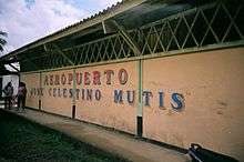
José Celestino Mutis Airport
| José Celestino Mutis Airport Aeropuerto José Celestino Mutis | |||||||||||
|---|---|---|---|---|---|---|---|---|---|---|---|
 | |||||||||||
| IATA: BSC – ICAO: SKBS | |||||||||||
| Summary | |||||||||||
| Airport type | Public | ||||||||||
| Operator | Government | ||||||||||
| Serves | Bahía Solano, Colombia | ||||||||||
| Elevation AMSL | 80 ft / 24 m | ||||||||||
| Coordinates | 06°12′10″N 077°23′40″W / 6.20278°N 77.39444°W | ||||||||||
| Map | |||||||||||
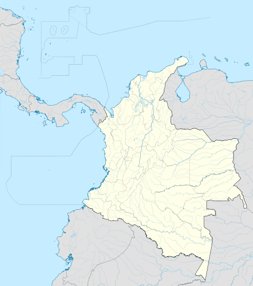 BSC Location of airport in Colombia | |||||||||||
| Runways | |||||||||||
| |||||||||||
José Celestino Mutis Airport (Spanish: Aeropuerto José Celestino Mutis) (IATA: BSC, ICAO: SKBS) is an airport serving Bahía Solano, a municipality of the Chocó Department in Colombia.
Facilities
The airport resides at an elevation of 80 feet (24 m) above mean sea level. It has one runway designated 18/36 with an asphalt surface measuring 3,973 by 78 feet (1,211 m × 24 m).[1]
Airlines and destinations
| Airlines | Destinations |
|---|---|
| Aerolínea de Antioquia | Quibdó |
| SATENA | Medellín-Olaya Herrera |
References
- 1 2 Airport information for SKBS from DAFIF (effective October 2006)
- ↑ Airport information for BSC at Great Circle Mapper. Source: DAFIF (effective October 2006).
External links
This article is issued from Wikipedia - version of the 11/27/2016. The text is available under the Creative Commons Attribution/Share Alike but additional terms may apply for the media files.