Humevale, Victoria
| Humevale Victoria | |
|---|---|
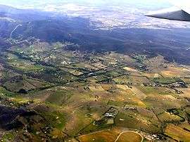 Humevale aerial photograph from north west | |
 Humevale | |
| Coordinates | 37°29′49″S 145°10′30″E / 37.497°S 145.175°ECoordinates: 37°29′49″S 145°10′30″E / 37.497°S 145.175°E |
| Population | 370 (2011 census)[1] |
| Postcode(s) | 3757 |
| LGA(s) | City of Whittlesea |
| State electorate(s) | |
| Federal Division(s) | McEwen |
Humevale is a rural locality in Victoria, Australia between Whittlesea and Kinglake West, about 40 kilometres (25 mi) north-north-east of Melbourne, within the City of Whittlesea. At the 2011 Census, Humevale had a population of 370.
The Post Office opened around 1902 as Scrubby Creek, was renamed Humevale in 1927 and closed in 1959.[2]
Humevale is also referred to as Scrubby Creek, after a nearby watercourse.
References
- ↑ Australian Bureau of Statistics (31 October 2012). "Humevale (State Suburb)". 2011 Census QuickStats. Retrieved 2012-06-23.
- ↑ Premier Postal History, Post Office List, retrieved 2008-04-11
External links
This article is issued from Wikipedia - version of the 12/15/2014. The text is available under the Creative Commons Attribution/Share Alike but additional terms may apply for the media files.