Holcomb, Mississippi
| Holcomb, Mississippi | |
|---|---|
| Unincorporated community | |
 | |
 Holcomb, Mississippi  Holcomb, Mississippi | |
| Coordinates: 33°45′40″N 89°58′33″W / 33.76111°N 89.97583°WCoordinates: 33°45′40″N 89°58′33″W / 33.76111°N 89.97583°W | |
| Country | United States |
| State | Mississippi |
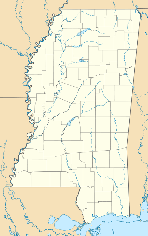
| County | Grenada |
| Elevation | 194 ft (59 m) |
| Time zone | Central (CST) (UTC-6) |
| • Summer (DST) | CDT (UTC-5) |
| ZIP code | 38929 |
| Area code(s) | 662 |
| GNIS feature ID | 671276[1] |
Holcomb is an unincorporated community located in Grenada County, Mississippi and part of the Grenada Micropolitan Statistical Area . Holcomb is approximately 10 miles (16 km) west of Grenada and 14 miles (23 km) east of Philipp at the intersection of Mississippi Highway 7 & Mississippi Highway 8.
Although an unincorporated community, Holcomb has a post office and a zip code of 38940.
History
The community was founded in 1901 on land that once was the home site of Choctaw Indian Chief Isaac Perry.
Climate
The climate in this area is characterized by hot, humid summers and generally mild to cool winters. According to the Köppen Climate Classification system, Holcomb has a humid subtropical climate, abbreviated "Cfa" on climate maps.[2]
Notable people
- Kristi Addis, 1987 Miss Teen USA.[3]
References
- ↑ U.S. Geological Survey Geographic Names Information System: Holcomb, Mississippi
- ↑ Climate Summary for Holcomb, Mississippi
- ↑ "Miss Teen USA". Pageant Lovers.com. Retrieved February 2014. Check date values in:
|access-date=(help)
External links
- Holcomb, Mississippi - Official site.
- - Holcomb Jail.
Gallery
 Sign on Mississippi Highway 8 indicating the founding date of the community
 Holcomb Post Office
 Holcomb Volunteer Fire Department
 Home in the Holcomb community
 Home in the Holcomb community
Municipalities and communities of Grenada County, Mississippi, United States | ||
|---|---|---|
| Cities | 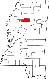 | |
| CDPs | ||
| Other unincorporated communities | ||
This article is issued from Wikipedia - version of the 7/30/2016. The text is available under the Creative Commons Attribution/Share Alike but additional terms may apply for the media files.