Historic Village of the Narragansetts in Charlestown
|
Historic Village of the Narragansetts in Charlestown | |
  | |
| Nearest city | Charlestown, Rhode Island |
|---|---|
| Coordinates | 41°24′37″N 71°40′03″W / 41.410401°N 71.667419°WCoordinates: 41°24′37″N 71°40′03″W / 41.410401°N 71.667419°W |
| Architect | Unknown |
| Architectural style | Greek Revival |
| NRHP Reference # | 73000008 [1] |
| Added to NRHP | May 7, 1973 |
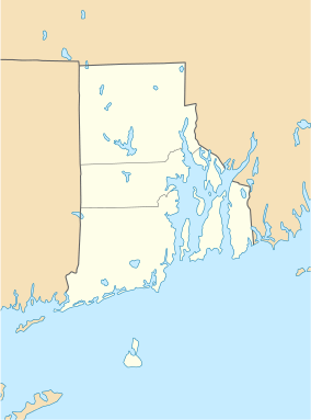
The Historic Village of the Narragansetts in Charlestown is an historic district in Charlestown, Rhode Island encompassing what were for nearly two centuries the reservation lands of the Narragansett people. The district covers 5,600 acres (23 km2) and is bounded by Route 112 on the east, U.S. Route 1 on the south, King's Factory Road (Bureau of Indian Affairs Route 411) on the west, and Route 91 on the north.[2] These lands served as the Narragansett reservation between 1709 and 1880, when the tribe sold the land to the state and was formally detribalized. Because of this long period of Native occupation, the area is archaeologically important, containing both historic and prehistoric artifacts.[3] The Narragansetts have since received federal recognition.
The district was listed on the National Register of Historic Places in 1973.[1]
See also
References
- 1 2 National Park Service (2007-01-23). "National Register Information System". National Register of Historic Places. National Park Service.
- ↑ Historic and Architectural Resources of Charlestown, Rhode Island: A Preliminary Report, Rhode Island Historical Preservation Commission, 1981
- ↑ "NRHP nomination for Historic Village of the Narragansetts in Charlestown" (PDF). Rhode Island Preservation. Retrieved 2014-07-27.
| Topics | |
|---|---|
| Lists by states |
|
| Lists by insular areas | |
| Lists by associated states | |
| Other areas | |
| |