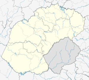
Heuwelsig, Bloemfontein
| Heuwelsig | |
|---|---|
 Heuwelsig  Heuwelsig  Heuwelsig
| |
| Coordinates: 29°04′52″S 26°12′04″E / 29.081°S 26.201°ECoordinates: 29°04′52″S 26°12′04″E / 29.081°S 26.201°E | |
| Country | South Africa |
| Province | Free State |
| Municipality | Mangaung |
| Main Place | Bloemfontein |
| Area[1] | |
| • Total | 1.50 km2 (0.58 sq mi) |
| Population (2011)[1] | |
| • Total | 2,596 |
| • Density | 1,700/km2 (4,500/sq mi) |
| Racial makeup (2011)[1] | |
| • Black African | 17.6% |
| • Coloured | 2.0% |
| • Indian/Asian | 3.7% |
| • White | 75.4% |
| • Other | 1.3% |
| First languages (2011)[1] | |
| • Afrikaans | 67.0% |
| • English | 17.0% |
| • Sotho | 7.4% |
| • Xhosa | 2.9% |
| • Other | 9.2% |
| Postal code (street) | 9332 |
| PO box | 9301 |
Heuwelsig is a suburb in the northern part of Bloemfontein in South Africa. It derives its name from the geography. This suburb is located on the slopes of mostly granite hills (or koppies). According to the 2011 national census it is a 75% white suburb. It was mainly developed during the 1980s. The main landmark in the area is the Diamond shaped water-tower.
References
- 1 2 3 4 "Sub Place Heuwelsig". Census 2011.
This article is issued from Wikipedia - version of the 6/13/2016. The text is available under the Creative Commons Attribution/Share Alike but additional terms may apply for the media files.
.svg.png)