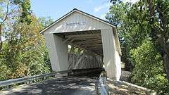
Harshaville, Ohio
| Harshaville, Ohio | |
|---|---|
| Unincorporated community | |
 Harshaville, Ohio | |
| Coordinates: 38°54′29″N 83°32′40″W / 38.90806°N 83.54444°WCoordinates: 38°54′29″N 83°32′40″W / 38.90806°N 83.54444°W | |
| Country | United States |
| State | Ohio |
| County | Adams |
| Elevation | 725 ft (221 m) |
| Time zone | Eastern (EST) (UTC-5) |
| • Summer (DST) | EDT (UTC-4) |
| Area code(s) | 937 |
| GNIS feature ID | 1064803[1] |
Harshaville, Ohio (also known as Harshasville[1]) is an unincorporated community in Adams County, Ohio, in the southern part of the state.
Harshaville was built up around the early Harsha Mill, a gristmill powered by the Cherry Fork Creek.[2] The community was named for the local Harsha family.[3] A post office was established at Harshaville in 1865, and remained in operation until 1909.[4]
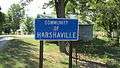
It is the location of Harshaville Covered Bridge, a historic bridge that is listed on the National Register of Historic Places.
Gallery
-
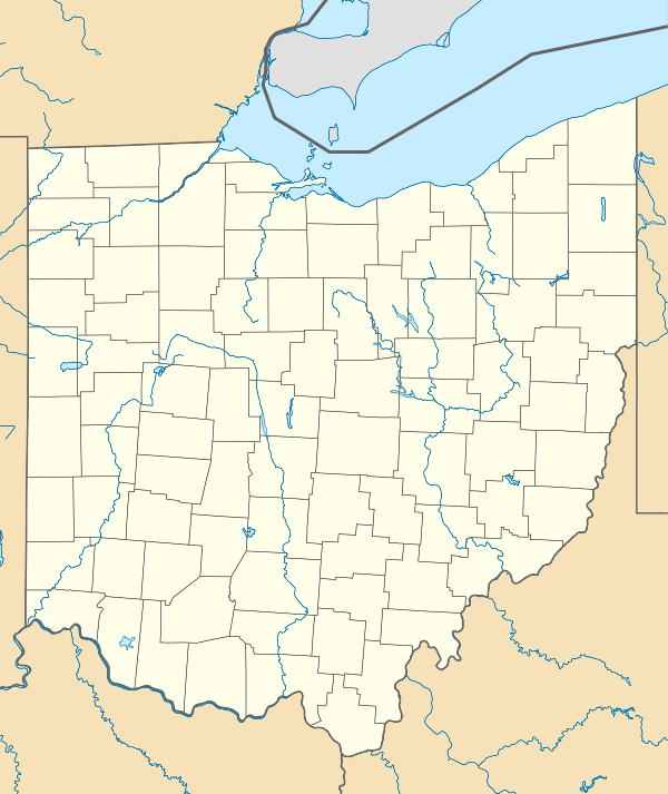
Harshaville community sign.
-

Looking east on Graces Run Road in Harshaville.
-
Harshaville Covered Bridge
References
- 1 2 "Locust Grove". Geographic Names Information System. United States Geological Survey.
- ↑ Evans, Nelson Wiley (1900). A History of Adams County, Ohio: From Its Earliest Settlement to the Present Time. E B. Stivers. p. 453.
- ↑ Ohio Historic Places Dictionary. North American Book Dist LLC. 2008. p. 3. ISBN 978-1-878592-70-5.
- ↑ "Adams County". Jim Forte Postal History. Retrieved 12 December 2015.
This article is issued from Wikipedia - version of the 11/4/2016. The text is available under the Creative Commons Attribution/Share Alike but additional terms may apply for the media files.