Gum Ridge, Mississippi
| Gum Ridge, Mississippi | |
|---|---|
| Ghost town | |
 Gum Ridge, Mississippi | |
| Coordinates: 31°47′01″N 91°14′40″W / 31.78361°N 91.24444°WCoordinates: 31°47′01″N 91°14′40″W / 31.78361°N 91.24444°W | |
| Country | United States |
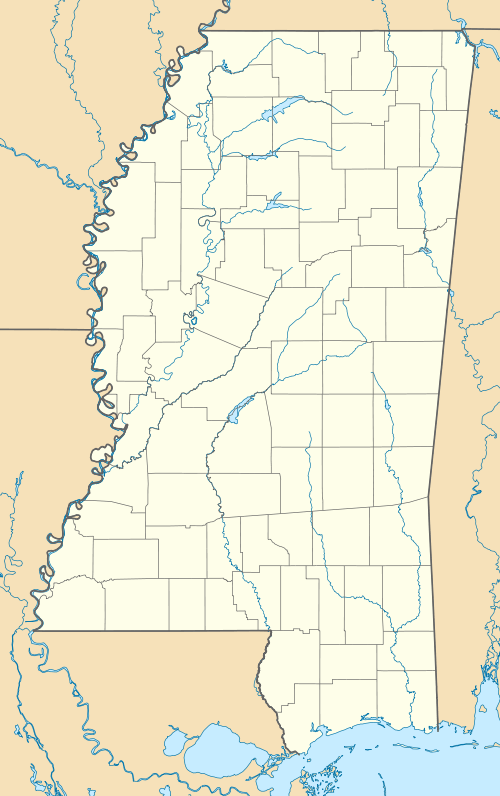
| State | Mississippi |
| County | Jefferson |
| Elevation | 69 ft (21 m) |
| Time zone | Central (CST) (UTC-6) |
| • Summer (DST) | CDT (UTC-5) |
| GNIS feature ID | 707694[1] |
Gum Ridge is a ghost town located in Jefferson County, Mississippi.[1]
Gum Ridge was located at the eastern end of a bend in the Mississippi River, at the mouth of Coles Creek.[2]
A post office was established in 1875,[3] and the hamlet was included on Mississippi River postal routes.
The river changed course in 1884 and began to flow along the "Waterproof Cutoff", named for nearby Waterproof, Louisiana. Gum Ridge had been removed from the contiguous Mississippi River, and the former bend in the river filled in.[4]
In 1900, Gum Ridge had a population of 29.[2]
Aboriginal artifacts, particularly a celt and a sandstone pipe, have been found at Gum Ridge.[5]
References
- 1 2 U.S. Geological Survey Geographic Names Information System: Gum Ridge (historical)
- 1 2 Rowland, Dunbar (1907). Mississippi: Comprising Sketches of Counties, Towns, Events, Institutions, and Persons, Arranged in Cyclopedic Form. 1. Southern Historical Publishing Association. p. 828.
- ↑ U.S. Geological Survey Geographic Names Information System: Gum Ridge Post Office (historical)
- ↑ Bragg, Marion (1977). "Historic Names and Places on the Lower Mississippi River" (PDF). Mississippi River Commission.
- ↑ Moore, Clarence Bloomfield (1908). The Lower Mississippi Valley Expeditions of Clarence Bloomfield Moore. University of Alabama Press. pp. 377, 378.
Municipalities and communities of Jefferson County, Mississippi, United States | ||
|---|---|---|
| City | 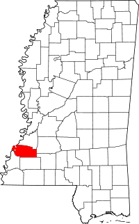 | |
| Unincorporated communities | ||
| Ghost towns | ||
This article is issued from Wikipedia - version of the 5/7/2014. The text is available under the Creative Commons Attribution/Share Alike but additional terms may apply for the media files.