Granville Lake, Manitoba
| Granville Lake | |
|---|---|
| Indian Settlement | |
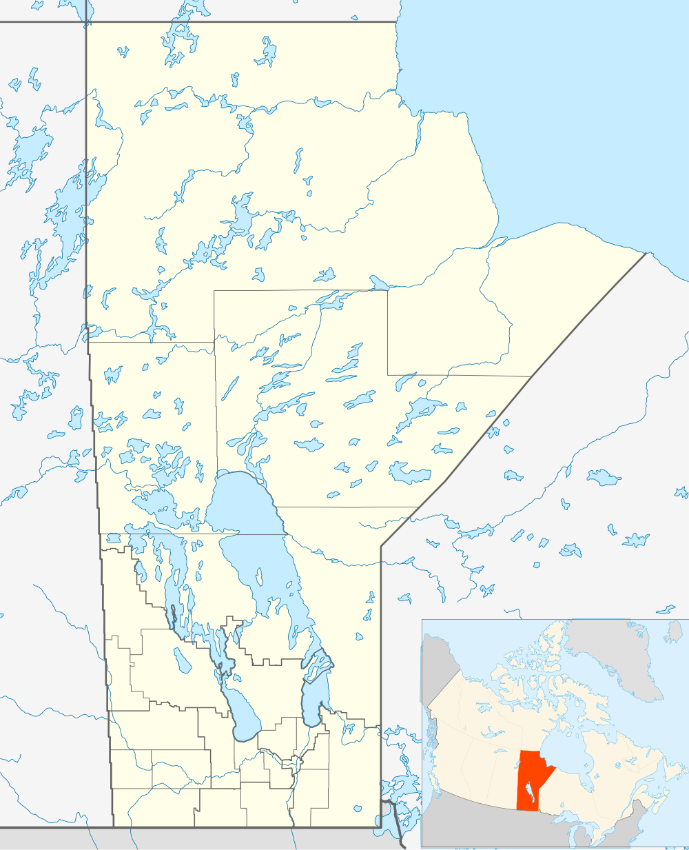 Granville Lake Location of Granville Lake in Manitoba | |
| Coordinates: 56°13′52″N 100°34′07″W / 56.23111°N 100.56861°W | |
| Country |
|
| Province |
|
| Region | Northern Region |
| Census division | 23 |
| Government | |
| • (Flin Flon) | Gerard Jennissen (NDP) |
| • MP (Churchill) | Niki Ashton (NDP) |
| Area (2006)[1] | |
| • Total | 2.33 km2 (0.90 sq mi) |
| Population (2006 Census)[1] | |
| • Total | 98 |
| • Density | 42/km2 (110/sq mi) |
| Time zone | CST (UTC−6) |
| • Summer (DST) | CDT (UTC−5) |
| Postal code | R0B |
| Area code(s) | 204 |
Granville Lake is an Indian settlement in northern Manitoba. The community does not have all-weather road access; rather the community relies on ice roads in the winter and the lake-river system in the summer.
In 2006, according to Statistics Canada census data, Granville Lake had a population of 98 living in 16 dwellings, a 42.0% increase from 2001. The Indian Settlement has a land area of 2.33 km2 (0.90 sq mi) and a population density of 42.0/km2 (109/sq mi).[1]
References
- 1 2 3 Statistics Canada. "Canada 2006 Census: Granville Lake - Community Profile". Retrieved 2011-02-02.
External links
Coordinates: 56°13′52″N 100°34′07″W / 56.23111°N 100.56861°W
This article is issued from Wikipedia - version of the 1/30/2015. The text is available under the Creative Commons Attribution/Share Alike but additional terms may apply for the media files.