Gerovasa
| Gerovasa Γεροβάσα Yerovası | |
|---|---|
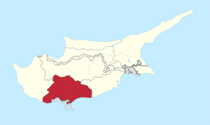
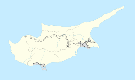 Gerovasa Location in Cyprus | |
| Coordinates: 34°48′47″N 32°44′25″E / 34.81306°N 32.74028°ECoordinates: 34°48′47″N 32°44′25″E / 34.81306°N 32.74028°E | |
| Country |
|
| District | Limassol District |
| Population (2001)[1] | |
| • Total | 0 |
| Time zone | EET (UTC+2) |
| • Summer (DST) | EEST (UTC+3) |
Gerovasa (Greek: Γεροβάσα, Turkish: Yerovası) is an abandoned village in the Limassol District of Cyprus, located 6 km west of Malia. In 1960 the majority of the inhabitants were Turkish Cypriots. [2]
References
This article is issued from Wikipedia - version of the 3/20/2013. The text is available under the Creative Commons Attribution/Share Alike but additional terms may apply for the media files.