Kato Platres
| Kato Platres Κάτω Πλάτρες Τορνάρηδες | |
|---|---|
| Village | |
 Kato Platres | |
| Coordinates: 34°52′46″N 32°50′29″E / 34.87944°N 32.84139°ECoordinates: 34°52′46″N 32°50′29″E / 34.87944°N 32.84139°E | |
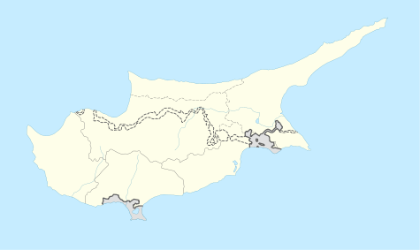
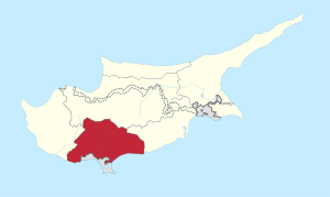
| Country | Cyprus |
| District | Limassol |
| Elevation | 920 m (3,020 ft) |
| Population (2001) | |
| • Total | 210 |
| Time zone | EET (UTC+2) |
| Postal code | CY-4815 |
Kato Platres (Greek: Κάτω Πλάτρες) also known as Tornarides is a mountainous village in Cyprus. It is located on the southern slopes of the Troödos Mountains (Greek: Τρόοδος) and is one of the Krasochoria (Greek: Κρασοχώρια) (wine village). Kato Platres is approximately 24 kilometers (15 mi) north-west of Limassol and 46 kilometers (29 mi) south-west of the capital Nicosia.
External links
This article is issued from Wikipedia - version of the 5/20/2014. The text is available under the Creative Commons Attribution/Share Alike but additional terms may apply for the media files.