Garfield, Indiana
| Garfield | |
|---|---|
| Unincorporated community | |
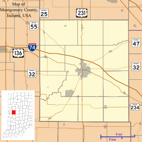 Garfield Location in Montgomery County | |
| Coordinates: 40°04′59″N 86°49′26″W / 40.08306°N 86.82389°WCoordinates: 40°04′59″N 86°49′26″W / 40.08306°N 86.82389°W | |
| Country | United States |
| State | Indiana |
| County | Montgomery |
| Township | Union |
| Elevation | 791 ft (241 m) |
| ZIP code | 47933 |
| FIPS code | 18-26375[1] |
| GNIS feature ID | 434956[2] |
Garfield is an unincorporated community in Union Township, Montgomery County, Indiana.
History
A post office was established at Garfield in 1880, and remained in operation until 1907.[3] The community as named after James A. Garfield (1831–1881), 20th President of the United States.[4]
Geography
Garfield is located at 40°04′59″N 86°49′26″W / 40.08306°N 86.82389°W.
References
- ↑ "American FactFinder". United States Census Bureau. Retrieved 2008-01-31.
- ↑ "Garfield, Indiana". Geographic Names Information System. United States Geological Survey. Retrieved 2009-10-17.
- ↑ "Montgomery County". Jim Forte Postal History. Retrieved 7 September 2015.
- ↑ Baker, Ronald L. (October 1995). From Needmore to Prosperity: Hoosier Place Names in Folklore and History. Indiana University Press. p. 141. ISBN 978-0-253-32866-3.
...probably named for James A. Garfield, who was elected president...
Municipalities and communities of Montgomery County, Indiana, United States | ||
|---|---|---|
| City | ||
| Towns | ||
| Townships | ||
| CDP | ||
| Other unincorporated communities |
| |
This article is issued from Wikipedia - version of the 10/24/2016. The text is available under the Creative Commons Attribution/Share Alike but additional terms may apply for the media files.