Frontier Region Kohat
.jpg)
The Frontier Region Kohat (often abbreviated as FR Kohat) is a small administrative unit in the Federally Administered Tribal Areas (FATA) of Pakistan. The region is located adjacent to the District Kohat, and therefore derives its name from Kohat. F.R. Kohat also shares its boundary with Peshawar District to the north, Nowshera District to the east and Orakzai Agency to the west.[1] It is administered by an Assistant Political Agent, under the overall supervision and administrative command of Deputy Commissioner (DC) Kohat, who also happens to be the Political Agent of F.R. Kohat. [2] The overall administration of the Frontier Regions is carried out by the FATA Secretariat based in Peshawar, the capital of the Khyber Pakhtunkhwa Province.
Geography and climate
The region is very hilly, with average heights of 1,500 m (4,900 ft) above sea level.
The climate of Kohat and surroundings is hot from May to September. June is the hottest month. The mean, maximum and minimum temperature recorded during June is about 40° C and 27° C respectively. A pleasant change in the weather is noted from October onwards, up till February. The winter is cold and severe. In winter a wrong west wind known as “Hangu Breeze” often blows down the Miranzai valley towards Kohat for weeks. The mean maximum and minimum temperature, recorded during the month of January, is about 18° C and 6" C respectively.
The rainfall is received throughout the year. The monsoon rain is received from May to October. August is the rainiest month, with an average of about 114 mm. The winter rain occurs from November to April. The highest winter rainfall is received in the month of March. The average annual rainfall is about 638 mm. The maximum humidity has been recorded in the month of August during summer season and in December during the winter season.
Education
According to the Alif Ailaan Pakistan District Education Rankings 2015, FR Kohat in terms of facilities and infrastructure, the district is ranked 74 out of 148. [3]
See also
References
- ↑ "Historical background and administrative profile of the FR Kohat". FATA Secretariat. Archived from the original on December 3, 2009. Retrieved 2010-04-05.
- ↑ "Administrative System". FATA Secretariat. Archived from the original on March 30, 2010. Retrieved 2010-04-05.
- ↑ "Individual district profile link, 2015". Alif Ailaan. Retrieved 2015-05-07.
External links
- Government of the Federally Administered Tribal Areas
- Pakistani Federal Ministry of States and Frontier Regions
Territorial capital: Parachinar | ||
| Agencies | 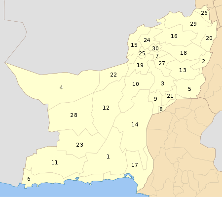 | |
| Frontier Regions | ||
See also: Provincially Administered Tribal Areas | ||
Coordinates: 33°20′N 71°13′E / 33.33°N 71.21°E