Fredonia, Alabama
| Fredonia, Alabama | |
|---|---|
| Census-designated place | |
|
The Old Fredonia (Cumbee) Store | |
 Fredonia | |
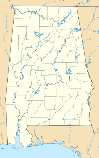
| Coordinates: 32°59′23″N 85°17′19″W / 32.98972°N 85.28861°WCoordinates: 32°59′23″N 85°17′19″W / 32.98972°N 85.28861°W | |
| Country | United States |
| State | Alabama |
| County | Chambers |
| Area[1] | |
| • Total | 12.005 sq mi (31.09 km2) |
| • Land | 11.979 sq mi (31.03 km2) |
| • Water | 0.026 sq mi (0.07 km2) |
| Elevation | 794 ft (242 m) |
| Population (2010)[2] | |
| • Total | 199 |
| • Density | 17/sq mi (6.4/km2) |
| Time zone | Central (CST) (UTC-6) |
| • Summer (DST) | CDT (UTC-5) |
| Area code(s) | 334 |
| GNIS feature ID | 118613[3] |

Fredonia is an unincorporated community and census-designated place in Chambers County, Alabama, United States. Its elevation is 794 feet (242 m), and it is located at 32°59′23″N 85°17′19″W / 32.98972°N 85.28861°W (32.9898462, -85.2885564). As of the 2010 census, its population was 199.[4] Other names for the community have included "Freedona" and "Hursts Store".[3] It is the location of the New Hope Rosenwald School, which is listed on the National Register of Historic Places.[5]
History
From its foundation, Fredonia was the educational and trade center for the northeast section of Chambers County. The town was incorporated September 29, 1853. Sixteen businesses existed including a jug factory, hotels, taverns, blacksmith shop, tan yard, the "Temperance House" as well as the first established Methodist Church in the county. The Southern Military was established in the village by the Alabama State Legislature, but it was forced to close by the Civil War.[6]
Incorporation
In October 2008 the Chambers County Commission petitioned Probate Court to forfeit the charter of the Town of Fredonia. The Probate Court ordered that Fredonia's charter be forfeited. A majority of the people in the town decided that they wanted to reinstate the town and, in order to do so, would first have to reverse the forfeiture. A group called "Free Fredonia Community" was formed and fundraising begun, an attorney was hired and an appeal was filed to reverse the forfeiture. While waiting for the case to come before the court, an election happened, and a number of the new commissioners agreed that the forfeiture should be reversed. In July 2011 the Chambers County Commission voted to reverse the forfeiture. On July 26, 2011, the court returned Fredonia to the status it held before forfeiture.[7]
References
- ↑ "US Gazetteer files: 2010, 2000, and 1990". United States Census Bureau. 2011-02-12. Retrieved 2011-04-23.
- ↑ "American FactFinder". United States Census Bureau. Retrieved 2011-05-14.
- 1 2 "Fredonia". Geographic Names Information System. United States Geological Survey.
- ↑ "Geographic Identifiers: 2010 Demographic Profile Data (G001): Fredonia CDP, Alabama". U.S. Census Bureau, American Factfinder. Retrieved June 3, 2014.
- ↑ National Park Service (2009-03-13). "National Register Information System". National Register of Historic Places. National Park Service.
- ↑ Small Town Historic Markers, Alabama Tourism Department, retrieved 2011-02-14
- ↑ SaveFredonia.com, retrieved 2012-09-05
Municipalities and communities of Chambers County, Alabama, United States | ||
|---|---|---|
| Cities |  | |
| Towns | ||
| CDPs | ||
| Unincorporated communities | ||
| Ghost town | ||
| Footnotes | ‡This populated place also has portions in an adjacent county or counties | |