Flat, Texas
| Flat, Texas | |
|---|---|
| Unincorporated community | |
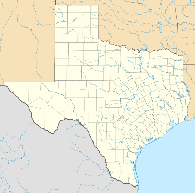 Flat  Flat Location in Texas | |
| Coordinates: 31°18′32″N 97°37′48″W / 31.30889°N 97.63000°W | |
| Country | United States |
| State | Texas |
| County | Coryell |
| Area | |
| • Total | 57.4 sq mi (148.6 km2) |
| Elevation | 1,839 ft (560.5 m) |
| Population (2000)[1] | |
| • Total | 861 |
| Time zone | CST (UTC-6) |
| • Summer (DST) | CDT (UTC-5) |
| ZIP Code | 76526 |
| Area code(s) | 254 |
Flat is a small unincorporated community in Coryell County, Texas, United States. It is part of the Killeen–Temple–Fort Hood Metropolitan Statistical Area.
History
The area was originally titled "Mesquite Flat" when the town applied for its own post office.[2] The application was rejected, and resubmitted as "Flat". The post office was successfully opened in 1897;[2] its ZIP code is 76526.[3]
In 1914 Flat had a thriving population of 100, with 3 general stores and a cotton gin. By the mid-1920s, population estimates fell to 25. In the late 1930s, the population had rebounded to 125.
With the establishment of Fort Hood in 1942, much of the towns cropland was converted into a military base. In 1960, the population was 200. The Flat school merged with Gatesville ISD in 1963. In 1970, the population was 210.
As of 2000, the population was 861.[1]
Climate
The climate in this area is characterized by hot, humid summers and generally mild to cool winters. According to the Köppen Climate Classification system, Flat has a humid subtropical climate, abbreviated "Cfa" on climate maps.[4]
References
External links
Municipalities and communities of Coryell County, Texas, United States | ||
|---|---|---|
| Cities |  | |
| Towns | ||
| CDP | ||
| Unincorporated communities | ||
| Footnotes | ‡This populated place also has portions in an adjacent county or counties | |