Coronado, Uruguay
| Coronado | |
|---|---|
| Village | |
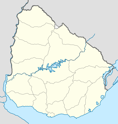 Coronado Location in Uruguay | |
| Coordinates: 30°16′40″S 57°36′5″W / 30.27778°S 57.60139°WCoordinates: 30°16′40″S 57°36′5″W / 30.27778°S 57.60139°W | |
| Country |
|
| Department | Artigas Department |
| Population (2011) | |
| • Total | 438 |
| Time zone | UTC - 3 |
| Postal code | 55100 |
| Dial plan | +598 4779 (+4 digits) |
Coronado is a village in the Artigas Department of northern Uruguay. Its name comes from Hipólito Coronado (1840-1876). Its main activity is horticultural production.
Location
The village is located on the shores of the Uruguay River and shares borders with the south part of Bella Unión, forming a rural suburb of the city.
History
Coronado was established in 1885 with Campodónico and Franqui.
Population
In 2011 Coronado had a population of 438.[1]
| Year | Population |
|---|---|
| 1963 | 360 |
| 1975 | 441 |
| 1985 | 403 |
| 1996 | 373 |
| 2004 | 469 |
| 2011 | 438 |
Source: Instituto Nacional de Estadística de Uruguay[2]
References
- ↑ "Censos 2011 Artigas (needs flash plugin)". INE. 2012. Archived from the original on 9 October 2012. Retrieved 25 August 2012.
- ↑ "1963–1996 Statistics / C". Instituto Nacional de Estadística de Uruguay. 2004. Archived from the original (DOC) on 21 July 2011. Retrieved 27 June 2011.
External links
Capital: Artigas | ||
| Towns and villages |  | |
| Sights | ||
This article is issued from Wikipedia - version of the 12/1/2016. The text is available under the Creative Commons Attribution/Share Alike but additional terms may apply for the media files.