Cooper Landing Historic District
|
Cooper Landing Historic District | |
 | |
| Location | AK 1, Cooper Landing, Alaska |
|---|---|
| Coordinates | 60°29′21″N 149°49′57″W / 60.48917°N 149.83250°WCoordinates: 60°29′21″N 149°49′57″W / 60.48917°N 149.83250°W |
| Area | 3.4 acres (1.4 ha) |
| NRHP Reference # | 86001475[1] |
| Added to NRHP | August 21, 1986 |
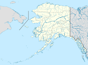
The Cooper Landing Historic District encompasses a cluster of five buildings in Cooper Landing, Alaska. Oriented toward the Kenai River but now accessible from the Sterling Highway, the district includes two residential structures (a house built out of recycled bridge timbers and a modest log cabin) built before 1910, the Cooper Landing Post Office, built in the 1910s, the c. 1925 log Riddiford School, and the c. 1946 Leo Douglas log cabin. They represent the historic heart of the Cooper Landing community, which stretches for 10 miles (16 km) along the highway,[2] and were listed on the National Register of Historic Places in 1986.[1]
See also
References
- 1 2 National Park Service (2010-07-09). "National Register Information System". National Register of Historic Places. National Park Service.
- ↑ "NRHP nomination for Cooper Landing Historic District" (PDF). National Park Service. Retrieved 2015-01-30.
This article is issued from Wikipedia - version of the 11/30/2016. The text is available under the Creative Commons Attribution/Share Alike but additional terms may apply for the media files.