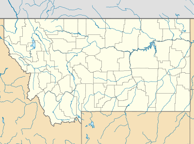
Comertown, Montana
|
Comertown Historic District | |
  | |
| Location | Sheridan County, Montana |
|---|---|
| Nearest city | Westby, Montana |
| Coordinates | 48°53′49″N 104°14′56″W / 48.89694°N 104.24889°WCoordinates: 48°53′49″N 104°14′56″W / 48.89694°N 104.24889°W |
| Built | 1913 |
| MPS | Sheridan County MPS |
| NRHP Reference # | 93001149[1] |
| Added to NRHP | October 27, 1993 |
Comertown is an unincorporated community in northeastern Sheridan County, Montana, United States.[2] Founded in 1913,[1] it was established as a station stop on the Soo Line Railroad branch line to Whitetail. It is centered at 48°53′49″N 104°15′0″W / 48.89694°N 104.25000°W (48.8969706, -104.2499432) and located at an altitude of 2,270 feet (692 m).[2]
Although the land around Comertown attracted numerous homesteaders during the first years following the railroad's completion, the region proved to be unsuited for intensive agricultural use, and by the 1920s Comertown was in decline. Though the railroad remains in operation, the community is now abandoned, and only a handful of buildings remain.
The post office at Comertown operated from November 14, 1914 to June 30, 1957.[3] A school and a cemetery were also established at Comertown.[4][5]
In 1993, the entire community was listed on the National Register of Historic Places as a historic district.[1]
Notes
- 1 2 3 National Park Service (2009-03-13). "National Register Information System". National Register of Historic Places. National Park Service.
- 1 2 U.S. Geological Survey Geographic Names Information System: Comertown, Montana
- ↑ U.S. Geological Survey Geographic Names Information System: Comertown Post Office
- ↑ U.S. Geological Survey Geographic Names Information System: Comertown School
- ↑ U.S. Geological Survey Geographic Names Information System: Comertown Cemetery
