Brochet Airport
For the airport in Lac Brochet, Manitoba, see Lac Brochet Airport.
| Brochet Airport | |||||||||||
|---|---|---|---|---|---|---|---|---|---|---|---|
| IATA: YBT – ICAO: CYBT | |||||||||||
| Summary | |||||||||||
| Airport type | Public | ||||||||||
| Operator | Government of Manitoba | ||||||||||
| Location | Brochet, Manitoba | ||||||||||
| Time zone | CST (UTC−06:00) | ||||||||||
| • Summer (DST) | CDT (UTC−05:00) | ||||||||||
| Elevation AMSL | 1,131 ft / 345 m | ||||||||||
| Coordinates | 57°53′22″N 101°40′45″W / 57.88944°N 101.67917°WCoordinates: 57°53′22″N 101°40′45″W / 57.88944°N 101.67917°W | ||||||||||
| Map | |||||||||||
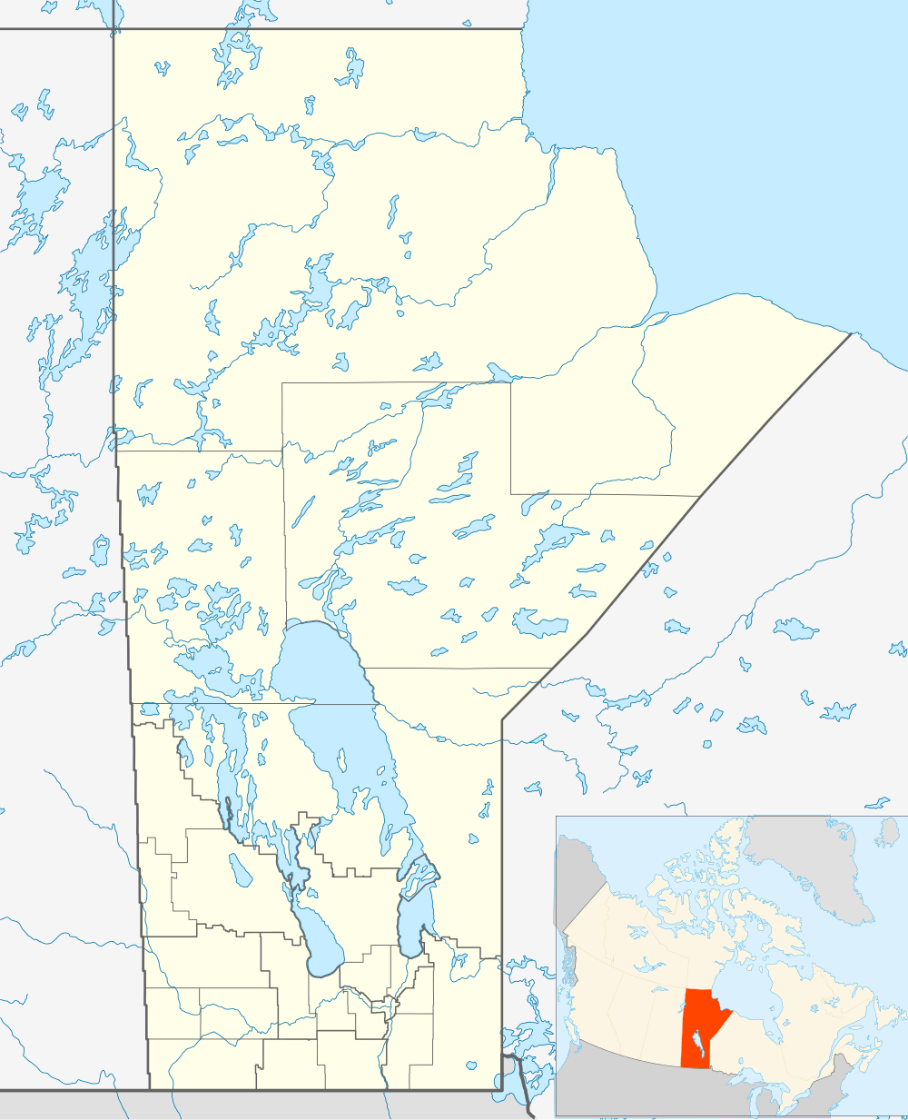 CYBT Location in Manitoba | |||||||||||
| Runways | |||||||||||
| |||||||||||
| Statistics (2010) | |||||||||||
| |||||||||||
Brochet Airport, (IATA: YBT, ICAO: CYBT), is located 1 nautical mile (1.9 km; 1.2 mi) west of Brochet, Manitoba, Canada.
Airlines and destinations
| Airlines | Destinations |
|---|---|
| Perimeter Aviation | Thompson, Winnipeg |
References
- ↑ Canada Flight Supplement. Effective 0901Z 15 September 2016 to 0901Z 10 November 2016
- ↑ Total aircraft movements by class of operation
External links
- Brochet Airport on COPA's Places to Fly airport directory
- Accident history for YBT: Brochet Airport at Aviation Safety Network
| By name | |
|---|---|
| By location indicator | |
| By province/territory | |
| By region | |
| National Airports System | |
| Related | |
| |
This article is issued from Wikipedia - version of the 12/4/2016. The text is available under the Creative Commons Attribution/Share Alike but additional terms may apply for the media files.