Bradwell-on-Sea
| Bradwell on Sea | |
 St. Thomas' church, Bradwell on Sea |
|
 Bradwell on Sea |
|
| Population | 863 (2011)[1] |
|---|---|
| OS grid reference | TM000067 |
| Civil parish | Bradwell on Sea |
| District | Maldon |
| Shire county | Essex |
| Region | East |
| Country | England |
| Sovereign state | United Kingdom |
| Post town | SOUTHMINSTER |
| Postcode district | CM0 |
| Dialling code | 01621 |
| Police | Essex |
| Fire | Essex |
| Ambulance | East of England |
| EU Parliament | East of England |
| UK Parliament | Maldon and East Chelmsford |
Coordinates: 51°43′24″N 0°53′41″E / 51.7234°N 0.8946°E
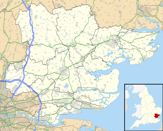
Bradwell-on-Sea is a village and civil parish in Essex, England. The village is on the Dengie peninsula. It is located about 9 km (5.6 mi) north-northeast of Southminster and is 30 km (19 mi) east from the county town of Chelmsford. The village is in the District of Maldon in the parliamentary constituency of Maldon whose boundaries were last varied at the United Kingdom General Election, 2010. It has a population of 863,[1] a decline from 877 in the previous census.[2]
Bradwell is also the name of an Episcopal Area within the Church of England Diocese of Chelmsford, whose current Bishop (2014) is John Wraw.
History
Bradwell-on-Sea was a Saxon Shore fort in Roman times known as Othona. The Anglo-Saxons originally called it Ithancester. Saint Cedd founded a monastery within the old walls in 653, which survives as the restored Chapel of St Peter-on-the-Wall, one of the oldest churches in Britain. From there, he continued the evangelisation of Essex. In the 20th century, the village became better known as the site for the Bradwell nuclear power station. It also has a very good sailing club and outdoor leisure facilities. There is a school – St Cedd's C. of E. Primary School.
The village has been called Bradwell juxta Mare, Bradwell-next-the-Sea and Bradwell near the Sea.
Celebrated residents include Thomas Abel, Sir Henry Bate Dudley, Tom Driberg and the artist F. H. Haagensen.
The local newspaper is the Bradwell Bugle.[3][4]
World War Two
During the Second World War the airfield sited to the north-east of Bradwell Waterside was a front-line station, and named RAF Bradwell Bay. Prior to this conflict a small grass airfield was sited there for refuelling and re-arming the aircraft used by pilots practising shooting and bombing at the ranges on nearby Dengie Marshes. In 1941 the airfield was enlarged, swallowing up the pre-war grass landing ground, and three concrete runways were laid down. As it was quite near to the coast, and many aircraft in distress landed there, it had the FIDO (Fog Intensive Dispersal Operation) system installed to help pilots find a safe landing in foggy weather. Many night-fighter squadrons were based here, equipped first with the Douglas Havoc, then the de Havilland Mosquito, the ubiquitous multi-role-combat aircraft of its time. The airfield was also used as a jumping-off point for fighters escorting long-distance bombing raids on Germany, and such types as the Spitfire and North American Mustang could be seen. A recent memorial, in the shape of a crashed de Havilland Mosquito, has been placed near to the edge of the airfield to remember all those who lost their lives in defence of Britain in the Second World War whilst based at RAF Bradwell Bay.
See also
References
- 1 2 "Civil Parish population 2011". Neighbourhood Statistics. Office for National Statistics. Retrieved 22 September 2015.
- ↑ Office for National Statistics : Census 2001 : Parish Headcounts : Maldon Retrieved 2009-12-17
- ↑ "The Bradwell Bugle". Issuu. Retrieved 2016-02-13.
- ↑ "BradwellBugle.co.uk". www.bradwellbugle.co.uk. Retrieved 2016-02-13.
External links
| Wikimedia Commons has media related to Bradwell-on-Sea. |
- The Rotary Club of Burnham on Crouch & Dengie Hundred
- Information and photographs of Bradwell on Sea Village
- The history of Bradwell on Sea
- Bradwell-on-Sea - Conservation Area Review and Character Appraisal, Essex County Council and Maldon District Council, 2006