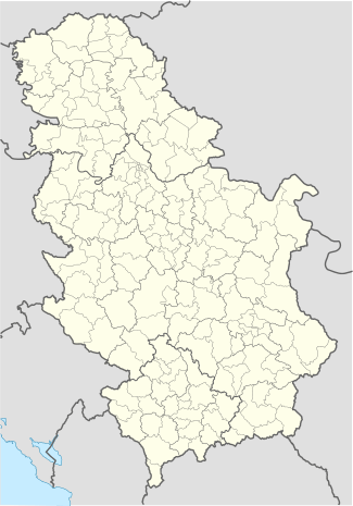
Boljevci
| Boljevci | |
|---|---|
| Suburban settlement | |
 Boljevci | |
| Coordinates: 44°43′N 20°13′E / 44.717°N 20.217°E | |
| Country |
|
| Time zone | CET (UTC+1) |
| • Summer (DST) | CEST (UTC+2) |
Boljevci (Serbian Cyrillic: Бољевци) is a suburban settlement of Belgrade, the capital of Serbia. It is located in Belgrade's municipality of Surčin.
Location
Boljevci is located on the left bank of the Sava river, in the south-central part of the municipality, in the Syrmia region (the sub-region of Podlužje, east of the Bojčinska woods). It is 12 kilometers south of its municipal seat, Surčin, and some 30 kilometers of downtown Belgrade. It is located on the road which connects Surčin to Progar (through Jakovo) and continues further into the province of Vojvodina (the village of Kupinovo).
Population
Boljevci is statistically classified as a rural settlement (village). It had a steady population growth until the 1960s when the population began to fluctuate. Population of Boljevci according to the official population censuses:
- 1921 - 2,179
- 1931 - 2,802
- 1953 - 3,641
- 1971 - 4,008
- 1981 - 3,974
- 1991 - 4,284
- 2002 - 4,056
Ethnic structure (2002): Serbs 2,653 (65,41%), Slovaks 1,132 (27,91%), Yugoslavs 40 (0,98%).
Characteristics
Boljevci is located in the marshy floodplain of the Sava. A monastery Fenek is located to the north-east so as the pond named after the monastery ("Fenečka bara"). On the opposite side, west of Boljevci, is a larger pond of Živača, used for the "Boljevci" fish pond.
Until the early 1960s Boljevci had its own municipality which was then annexed to the municipality of Surčin.
References
- Jovan Đ. Marković (1990): Enciklopedijski geografski leksikon Jugoslavije; Svjetlost-Sarajevo; ISBN 86-01-02651-6
- Vlado Gallo, JuDr, Bratislava.
Coordinates: 44°43′N 20°13′E / 44.717°N 20.217°E
| Wikimedia Commons has media related to Boljevci. |