Progar
| Progar | |
|---|---|
 Progar | |
| Coordinates: 44°43′N 20°10′E / 44.717°N 20.167°E | |
| Country |
|
| Time zone | CET (UTC+1) |
| • Summer (DST) | CEST (UTC+2) |
Progar (Serbian Cyrillic: Прогар) is a suburban neighborhood of Belgrade, the capital of Serbia. It is located in Belgrade's municipality of Surčin.
Location
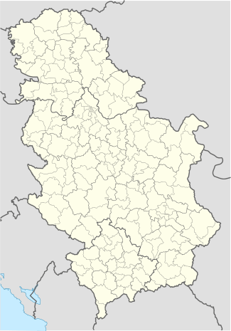
Progar is located in Syrmia (sub-region of Podlužje), in southwestern corner of the municipality (Bojčinska šuma) and stretches from the left bank of the Sava (the mouth of the Jarčina canal) to the southern shores of the Živača pond, 20 kilometers southwest of Surčin, its municipal seat. Local roads connect Progar with the villages of Kupinovo and Boljevci.
Population
Progar is statistically classified as a rural settlement (village). Because of the distance from Belgrade and slow economic development, it is one of the rare settlements in the municipality that doesn't have significant growth of population: 1,457 (1991 census) and 1,455 (2002 census; consisting of Serbs 1,381 (94,91%), Yugoslavs 9 (0,61%) Hungarians 8 (0,54%) and Croats 8 (0,54%).
Characteristics
Despite possibilities (forest area of Bojčinska šuma, Živača pond and the neighboring fish pond, river island of Progarska ada on the Sava) for tourism, Progar is still almost exclusively agricultural settlement.
References
- Beograd - plan grada; M@gic M@p, 2006; ISBN 86-83501-53-1
Coordinates: 44°43′N 20°10′E / 44.717°N 20.167°E
| Wikimedia Commons has media related to Progar. |