Bocaranga Airport
| Bocaranga Airport | |||||||||||
|---|---|---|---|---|---|---|---|---|---|---|---|
| IATA: none – ICAO: FEGC | |||||||||||
| Summary | |||||||||||
| Airport type | Public | ||||||||||
| Owner | Government | ||||||||||
| Serves | Bocaranga | ||||||||||
| Location |
| ||||||||||
| Elevation AMSL | 3,464 ft / 1,056 m | ||||||||||
| Coordinates | 06°55′27.6″N 015°37′26.6″E / 6.924333°N 15.624056°ECoordinates: 06°55′27.6″N 015°37′26.6″E / 6.924333°N 15.624056°E | ||||||||||
| Map | |||||||||||
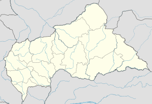 FEGC Location of Bocaranga Airport in the Central African Republic | |||||||||||
| Runways | |||||||||||
| |||||||||||
Bocaranga Airport (ICAO: FEGC) is a public use airport located 7 kilometres (4 mi) south-southwest of Bocaranga, Ouham-Pendé, the Central African Republic.
See also
References
- ↑ Airport record for Bocaranga Airport at Landings.com. Retrieved 2013-08-25
- ↑ Google (2013-08-25). "location of Bocaranga Airport" (Map). Google Maps. Google. Retrieved 2013-08-25.
External links
- Airport record for Bocaranga Airport at Landings.com
This article is issued from Wikipedia - version of the 11/8/2016. The text is available under the Creative Commons Attribution/Share Alike but additional terms may apply for the media files.