Bima Regency
| Bima Regency Kabupaten Bima | ||
|---|---|---|
| Regency | ||
| ||
 Location of Bima Regency in West Nusa Tenggara | ||
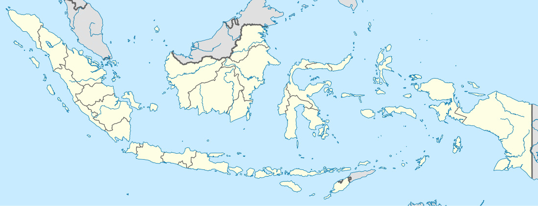 Bima Regency Location in Indonesia | ||
| Coordinates: 8°34′28″S 119°2′15″E / 8.57444°S 119.03750°E | ||
| Country | Indonesia | |
| Province | West Nusa Tenggara | |
| Capital | Woha | |
| Area | ||
| • Total | 4,389.40 km2 (1,694.76 sq mi) | |
| Population (2014) | ||
| • Total | 458,961 | |
| • Density | 100/km2 (270/sq mi) | |
| Time zone | WITA (UTC+8) | |
| Area code(s) | +62 374 | |
| Website | www.bimakab.go.id | |

Bima Regency is a regency (Indonesian: Kabupaten) of the Indonesian Province of West Nusa Tenggara. It is located on the island of Sumbawa and the capital is Woha. The Regency covers an area of 4,389.40 km2, and had a population of 438,522 at the 2010 Census;[1] the latest official estimate (as at January 2014) is 458,961. It excludes but completely surrounds Bima City (Kota).
It has two non-contiguous parts, one part is the northern half of Sanggar Peninsula which is dominated by Mount Tambora, and the other half is the easternmost quarter of the island (excluding Bima City). Between the two parts is Dompu Regency. To the north-east of the Tambora part is Sanggar Bay. Three bodies of water border the regency, Bima Bay, Waworada Bay, and Sape Strait.
The Regency is nearly co-terminus with the former Sultanate of Bima and includes the nearby islands of Sangeang, Banta, and Managate. The island of Kambing, which lies in Bima Bay, is also part of the Regency.
Administrative Districts
Bima Regency consists of eighteen districts (kecamatan), tabulated below with their populations at the 2010 Census:[2]
|
|
|
The districts are subdivided into 150 kelurahan.
References
External links
Regencies and cities of West Nusa Tenggara | ||
|---|---|---|
Capital: Mataram | ||
| Regencies | ||
| Cities | ||
Coordinates: 8°34′28″S 119°2′15″E / 8.57444°S 119.03750°E