Bigbee Valley, Mississippi
| Bigbee Valley | |
|---|---|
| Unincorporated community | |
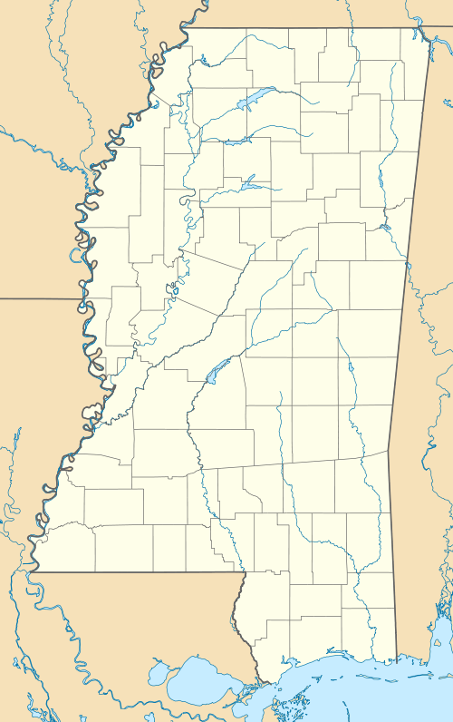 Bigbee Valley Location within the state of Mississippi | |
| Coordinates: 33°14′53″N 88°20′59″W / 33.24806°N 88.34972°WCoordinates: 33°14′53″N 88°20′59″W / 33.24806°N 88.34972°W | |
| Country | United States |
| State | Mississippi |
| County | Noxubee |
| Elevation | 157 ft (48 m) |
| Time zone | Central (CST) (UTC-6) |
| • Summer (DST) | CDT (UTC-5) |
| GNIS feature ID | 667158[1] |
Bigbee Valley is an unincorporated community in Noxubee County, Mississippi, United States. Variant names are "Bigbeevale", "Nances Mill", and "Whitehall".[1]
Bigbee Valley is located on Mississippi Highway 388, 2.4 mi (3.9 km) west of the Alabama state line.
The hamlet was historically located near the west bank of the Tombigbee River.[2] The construction of the Tennessee–Tombigbee Waterway in 1984 moved the navigable portion of the waterway 4.0 mi (6.4 km) east.
A post office was established in 1858.[3]
By 1900, Bigbee Valley had a grist mill, a steam saw mill, cotton gins, and a population of 75.[2]
References
- 1 2 "Bigbee Valley". Geographic Names Information System. United States Geological Survey.
- 1 2 Rowland, Dunbar (1907). Mississippi: Comprising Sketches of Counties, Towns, Events, Institutions, and Persons, Arranged in Cyclopedic Form. 1. Southern Historical Publishing Association. p. 239.
- ↑ "Our County History". Noxubee County Historical Society. Retrieved May 2014. Check date values in:
|access-date=(help)
Municipalities and communities of Noxubee County, Mississippi, United States | ||
|---|---|---|
| City | 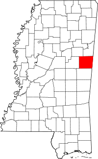 | |
| Towns | ||
| Unincorporated communities |
| |
This article is issued from Wikipedia - version of the 7/10/2014. The text is available under the Creative Commons Attribution/Share Alike but additional terms may apply for the media files.