Belén, Uruguay
| Belén | |
|---|---|
| Village | |
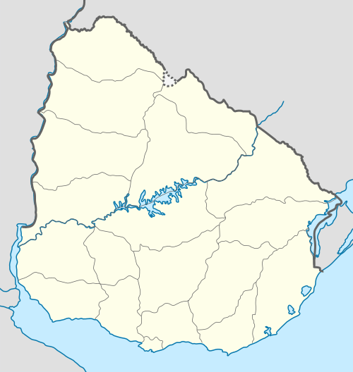 Belén Location in Uruguay | |
| Coordinates: 30°47′0″S 57°47′0″W / 30.78333°S 57.78333°WCoordinates: 30°47′0″S 57°47′0″W / 30.78333°S 57.78333°W | |
| Country |
|
| Department | Salto Department |
| Population (2004) | |
| • Total | 2,030 |
| Time zone | UTC -3 |
| Postal code | 50001 |
| Dial plan | +598 4766 (+4 digits) |
Belén is a village in the Salto Department of northwestern Uruguay.
Belén is also the name of the municipality to which the village belongs.
Location
The village is located on the mouth of the stream Arroyo Yacuy, on the banks of Uruguay River, northwest of Arapey and north of Salto.
History
It was first established as "Pueblo" (village) on 12 January 1860 and then re-established on 7 May 1862 by the Act of Ley Nº 705 and again on 2 October 1867 by the Act of Ley Nº 896.[1]
Population
In 2011, Belén had a population of 1,926.[2]

Location map of the municipality of Belén
| Year | Population |
|---|---|
| 1908 | 1,994 |
| 1963 | 2,622 |
| 1975 | 2,121 |
| 1985 | 1,882 |
| 1996 | 2,023 |
| 2004 | 2,030 |
| 2011 | 1,926 |
Source: Instituto Nacional de Estadística de Uruguay[1]
References
- 1 2 "Statistics of urban localities (1908–2004)" (PDF). INE. 2012. Retrieved 5 September 2012.
- ↑ "Censos 2011 Cuadros Salto". INE. 2012. Retrieved 25 August 2012.
External links
Capital: Salto | ||
| Towns and villages | 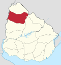 | |
| Mineral spas | ||
| Sights | ||
This article is issued from Wikipedia - version of the 10/30/2016. The text is available under the Creative Commons Attribution/Share Alike but additional terms may apply for the media files.