Balimela
| Balimela ବାଲିମେଳା | |
|---|---|
| city | |
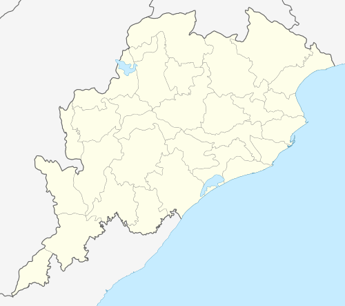 Balimela  Balimela Location in Odisha, India | |
| Coordinates: 18°15′N 82°08′E / 18.25°N 82.13°ECoordinates: 18°15′N 82°08′E / 18.25°N 82.13°E | |
| Country |
|
| State | Odisha |
| District | Malkangiri |
| Government | |
| • Type | democracy |
| • Body | notified area council |
| Elevation | 418 m (1,371 ft) |
| Population (2001) | |
| • Total | 11,500 |
| Languages | |
| • Official | Odia |
| Time zone | IST (UTC+5:30) |
| Vehicle registration | OD |
| Website |
odisha |
Balimela is a town and a notified area committee in Malkangiri district in the Indian state of Odisha. It has several tribes and culture is odia. Odia is local language here.
Geography
Balimela is located at 18°15′N 82°08′E / 18.25°N 82.13°E.[1] It has an average elevation of 418 metres (1371 feet).
Demographics
As of 2001 India census,[2] Balimela had a population of 11,500. Males constitute 52% of the population and females 48%. Balimela has an average literacy rate of 57%, lower than the national average of 59.5%; with 60% of the males and 40% of females literate. 13% of the population is under 6 years of age.
References
- ↑ Falling Rain Genomics, Inc - Balimela
- ↑ "Census of India 2001: Data from the 2001 Census, including cities, villages and towns (Provisional)". Census Commission of India. Archived from the original on 2004-06-16. Retrieved 2008-11-01.
This article is issued from Wikipedia - version of the 10/16/2016. The text is available under the Creative Commons Attribution/Share Alike but additional terms may apply for the media files.