Nimapada
| Nimapada ନିମାପଡା | |
|---|---|
| Town | |
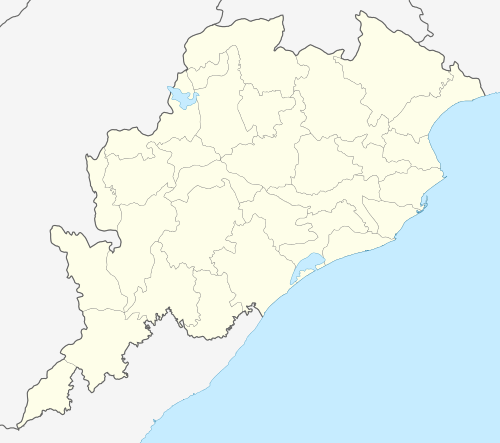 Nimapada  Nimapada Location in Odisha, India | |
| Coordinates: 20°04′N 86°01′E / 20.07°N 86.02°ECoordinates: 20°04′N 86°01′E / 20.07°N 86.02°E | |
| Country |
|
| State | Odisha |
| District | Puri |
| Elevation | 8 m (26 ft) |
| Population (2011) | |
| • Total | 19,289 |
| Languages | |
| • Official | Odia |
| Time zone | IST (UTC+5:30) |
| PIN | 752106 |
| Telephone code | +916758 |
| Vehicle registration | OR-13 |
| Website |
odisha |
Nimapada (also spelt as Nimapara) is a town and a notified area committee (NAC) in Puri district on the way to Konark and 40 km from the state capital Bhubaneswar in the Indian state of Odisha.
Geography
Nimapada is located at 20°04′N 86°01′E / 20.07°N 86.02°E.[1] It has an average elevation of 8 m (26 ft).
Demographics
As of 2001 India census,[2] Nimapada had a population of 16,914. Males constitute 52% of the population and females 48%. Nimapada has an average literacy rate of 77%, higher than the national average of 59.5%: male literacy is 82%, and female literacy is 72%. In Nimapada, 10% of the population is under 6 years of age.
Politics
Current MLA from Nimapara (Gen) Assembly Constituency is Mr. Sameer Ranjan Dash BJD, who won the seat in State elections in 2009. Previous MLAs from this seat were Baidhar Mullick of BJP on 2000 and 2004, Rabindra Kumar Sethy of INC in 1995 and 1985 and 1980 (in 1980, he represented INC(I)), Benudhara Sethy of JD in 1990, Govind Chandra Sethi of JNP in 1977.[3]
Nimapara is part of Jagatsinghpur (Lok Sabha constituency).[4]
References
- ↑ Falling Rain Genomics, Inc - Nimapada
- ↑ "Census of India 2001: Data from the 2001 Census, including cities, villages and towns (Provisional)". Census Commission of India. Archived from the original on 2004-06-16. Retrieved 2008-11-01.
- ↑ "State Elections 2004 - Partywise Comparison for 53-Nimapara Constituency of Odisha". Election Commission of India. Retrieved 2008-09-16.
- ↑ "Assembly Constituencies - Corresponding Districts and Parliamentary Constituencies of Odisha" (PDF). Election Commission of India. Retrieved 2008-09-16.