Avgorou
| Avgorou Αυγόρου | |
|---|---|
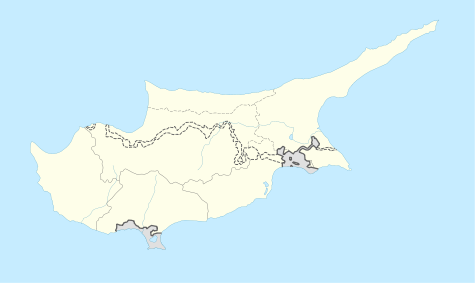 Avgorou Location in Cyprus | |
| Coordinates: 35°2′8″N 33°50′21″E / 35.03556°N 33.83917°ECoordinates: 35°2′8″N 33°50′21″E / 35.03556°N 33.83917°E | |
| Country |
|
| District | Famagusta District |
| Population (2011)[1] | |
| • Total | 4,604 |
| Time zone | EET (UTC+2) |
| • Summer (DST) | EEST (UTC+3) |
Avgorou (Greek: Αυγόρου, also spelled Αβγόρου, [locally [afˈkoɾu]]) is a village in southwestern Famagusta District, Cyprus. It is located near the communities of Frenaros, Sotira, Liopetri and Ormidia.
Avgorou village is one of the bigger villages in Famagusta area. Approximately 40 meters above sea level, near the district of Larnaka – Famagusta, and about 6 km north from Xylofagou village. Avgorou is still connected with the old road to Nicosia and borders with the villages of Dasaki Axnas, Xylofagou, Ormidia and Liopetri.
The colour of the soil in Augorou is dark red and very fertile, making Avgorou one of the main agriculture and animal farming areas in Famagusta. Most citizens of Avgorou cultivate a variety of potatoes, breadstuffs like barley, carrots, vegetables, locust trees, olive trees and some fruit trees.
The population of Avgorou is about 4,500 to 5,000 people from which 3,500 are locals and the others are refugees from the Turkish invasion of the north of the island in 1974.
References
- ↑ "Population - Place of Residence, 2011". Statistical Service of Cyprus (CYSTAT). 17 April 2014.
