Austin Airport
| Austin Airport | |||||||||||
|---|---|---|---|---|---|---|---|---|---|---|---|
| IATA: ASQ – ICAO: KTMT – FAA LID: TMT | |||||||||||
| Summary | |||||||||||
| Airport type | Public | ||||||||||
| Owner | U.S. Bureau of Land Management | ||||||||||
| Serves | Austin, Nevada | ||||||||||
| Elevation AMSL | 5,735 ft / 1,748 m | ||||||||||
| Coordinates | 39°28′05″N 117°11′51″W / 39.46806°N 117.19750°WCoordinates: 39°28′05″N 117°11′51″W / 39.46806°N 117.19750°W | ||||||||||
| Map | |||||||||||
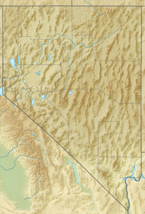 TMT Location of airport in Nevada | |||||||||||
| Runways | |||||||||||
| |||||||||||
| Statistics (2012) | |||||||||||
| |||||||||||
Austin Airport (IATA: ASQ[2], ICAO: KTMT, FAA LID: TMT, formerly 9U3[3]) is a public use airport owned by the U.S. Bureau of Land Management and located four nautical miles (7 km) southwest of the central business district of Austin, in Lander County, Nevada, United States.[1]
Although many U.S. airports use the same three-letter location identifier for the FAA and IATA, this airport is assigned TMT by the FAA[1] and ASQ by the IATA[2][4] (which assigned TMT to Porto Trombetas Airport in Pará, Brazil).[5]
Facilities and aircraft
Austin Airport covers an area of 1,205 acres (488 ha) at an elevation of 5,735 feet (1,748 m) above mean sea level. It has one runway designated 18/36 with an asphalt surface measuring 6,000 by 75 feet (1,829 x 23 m).[1]
For the 12-month period ending August 31, 2012, the airport had 1,400 aircraft operations, an average of 116 per month: 93% general aviation and 7% military. At that time there were six aircraft based at this airport, all single-engine.[1]
References
- 1 2 3 4 5 FAA Airport Master Record for TMT (Form 5010 PDF). Federal Aviation Administration. Effective November 15, 2012.
- 1 2 "IATA Airport Code Search (ASQ: Austin)". International Air Transport Association. Retrieved June 13, 2014.
- ↑ "Austin Airport (9U3)". FAA data republished by AirNav. February 11, 2010. Archived from the original on March 28, 2010.
- ↑ "Austin, Nevada, United States (IATA: ASQ, ICAO: KTMT, FAA: TMT)". Great Circle Mapper. Retrieved April 14, 2010.
- ↑ "Porto Trombetas, Pará, Brazil (IATA: TMT, ICAO: SBTB)". Great Circle Mapper. Retrieved April 14, 2010.
External links
- "Diagram of Austin Airport (9U3)" (PDF). from Nevada DOT
- Aerial photo as of September 1999 from USGS The National Map
- Resources for this airport:
- FAA airport information for TMT
- AirNav airport information for KTMT
- ASN accident history for ASQ
- FlightAware airport information and live flight tracker
- SkyVector aeronautical chart for KTMT