Aspen Valley, California
| Aspen Valley, California | |
|---|---|
| Unincorporated community | |
 Aspen Valley, California | |
| Coordinates: 37°49′39″N 119°46′17″W / 37.82750°N 119.77139°WCoordinates: 37°49′39″N 119°46′17″W / 37.82750°N 119.77139°W | |
| Country | United States |
| State | California |
| County | Tuolumne |
| Elevation | 6,161 ft (1,878 m) |
| Time zone | Pacific (PST) (UTC-8) |
| • Summer (DST) | PDT (UTC-7) |
| Area code(s) | 209 |
| GNIS feature ID | 1657957[1] |
Aspen Valley, California is an unincorporated community in Tuolumne County, California. Its elevation is 6,161 feet (1,878 m).[1] It is located in the western part of Yosemite National Park, about 8 miles southeast of Mather.
It was the nearest community to the Crane Flat Fire Lookout, which is listed on the National Register of Historic Places.[2]
References
- 1 2 "Aspen Valley". Geographic Names Information System. United States Geological Survey.
- ↑ National Park Service (2010-07-09). "National Register Information System". National Register of Historic Places. National Park Service.
Municipalities and communities of Tuolumne County, California, United States | ||
|---|---|---|
| City | 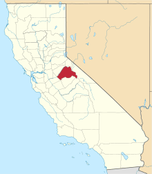 | |
| CDPs | ||
| Unincorporated communities | ||
| Ghost towns |
| |
This article is issued from Wikipedia - version of the 7/20/2015. The text is available under the Creative Commons Attribution/Share Alike but additional terms may apply for the media files.