Armadillo Peak
| Armadillo Peak | |
|---|---|
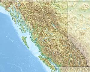 Armadillo Peak Location within British Columbia | |
| Highest point | |
| Elevation | 2,210 m (7,250 ft) |
| Prominence | 405 m (1,329 ft) |
| Coordinates | 57°32′17.9″N 130°33′36.0″W / 57.538306°N 130.560000°WCoordinates: 57°32′17.9″N 130°33′36.0″W / 57.538306°N 130.560000°W |
| Geography | |
| Location | British Columbia, Canada |
| Parent range | Tahltan Highland |
| Topo map | NTS 104G/10 |
| Geology | |
| Age of rock | 7.5 million years |
| Mountain type | Caldera |
| Last eruption | Miocene |
Armadillo Peak is a 7.5-million-year-old caldera, located about 3 km north of Bourgeaux Creek and northeast of Raspberry Pass, British Columbia, Canada. It is south of Mount Edziza and is overlapped by the Ice Peak central volcano, which was formed during the early Pleistocene. Its caldera is largely destroyed by glaciers. It is part of the Mount Edziza volcanic complex, which is made of basaltic lava flows.
See also
- Cascade Volcanoes
- List of Northern Cordilleran volcanoes
- List of volcanoes in Canada
- Northern Cordilleran Volcanic Province
- Volcanic history of the Northern Cordilleran Volcanic Province
- Volcanology of Canada
- Volcanology of Western Canada
References
- "Armadillo Peak". BC Geographical Names.
- "Armadillo Peak". Bivouac.com.
- "Armadillo Peak". Catalogue of Canadian volcanoes. Archived from the original on 2011-07-16.
This article is issued from Wikipedia - version of the 9/9/2016. The text is available under the Creative Commons Attribution/Share Alike but additional terms may apply for the media files.