Appila, South Australia
| Appila South Australia | |||||||||||||
|---|---|---|---|---|---|---|---|---|---|---|---|---|---|
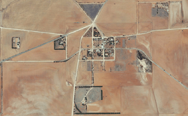 Aerial view of Appila, 2015 | |||||||||||||
 Appila Location in South Australia | |||||||||||||
| Coordinates | 33°3′2″S 138°25′41″E / 33.05056°S 138.42806°ECoordinates: 33°3′2″S 138°25′41″E / 33.05056°S 138.42806°E | ||||||||||||
| Established | 1874 | ||||||||||||
| Postcode(s) | 5480 | ||||||||||||
| Location |
| ||||||||||||
| LGA(s) | Mount Remarkable | ||||||||||||
| State electorate(s) | Stuart | ||||||||||||
| Federal Division(s) | Grey | ||||||||||||
| |||||||||||||
Appila (earlier known as Yarrowie) is a locality in the Mid North of South Australia east of the lower Flinders Ranges.[1]
See also
External links
- Klaassen, Nic. "Appila". Flinders Ranges Research.
References
- ↑ "Search result for "Appila" (Record ID SA0055826)". Geoscience Australia. Retrieved 16 May 2015.
This article is issued from Wikipedia - version of the 8/9/2016. The text is available under the Creative Commons Attribution/Share Alike but additional terms may apply for the media files.