Alto Mira
| Alto Mira | |
|---|---|
 | |
 | |
| Coordinates: 17°06′00″N 25°13′01″W / 17.100°N 25.217°WCoordinates: 17°06′00″N 25°13′01″W / 17.100°N 25.217°W | |
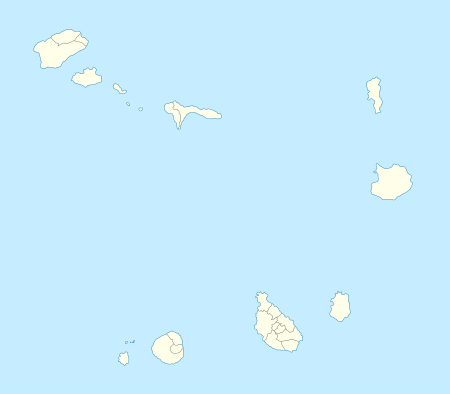
| Country | Cape Verde |
| Island | Santo Antão |
| Municipality | Porto Novo |
| Civil parish | Santo André |
| Population (2010)[1] | |
| • Total | 1,003 |
Alto Mira is a settlement in the northwestern part of the island of Santo Antão, Cape Verde. It is situated 18 km northwest of the island capital Porto Novo. Its 2010 population was 1,003 as of the 2010 census. The settlement is named after the stream where it flows. East of the village is Moroços Natural Park located slightly east of the municipal boundary with Ribeira Grande.
The village are divided into three localitites, Chã de Orgueiro, Chã Queimada, Fajal, Chazinha, Dominguinhas, Chã de Asno, Chã de Morro Preto, Clementino and Chã de Branquinho.
The village sits up a small plateau overlooking the nearby valley and the Atlantic, the central mountain range of the island are to the south. Parts of the area are forested, most of the area are grassy. Endangered flora include Tornabenea insularis.
Hurricane Fred ruined carrot, cabbage, and tomato plantations in early September 2015.[2]
See also
References
- ↑ "2010 Census results". Instituto Nacional de Estatística Cabo Verde (in Portuguese). 17 March 2014.
- ↑ "Santo Antão: Agricultores de Alto Mira querem apoio do MDR para compensar estragos nas culturas". Inforpress CV (in Portuguese). Praia. 2015-09-09. Retrieved 2015-09-21.
Subdivisions of the island of Santo Antão | |||||||||||||||
|---|---|---|---|---|---|---|---|---|---|---|---|---|---|---|---|
| Paul |
|  | |||||||||||||
| Porto Novo | |||||||||||||||
| Ribeira Grande | |||||||||||||||
| Parishes | 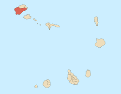 | |
|---|---|---|
| Communities and settlements | ||
| Geographical features |
| |
| Landmarks and points of Interests |
| |
| Culture |
| |