Al Adm
| Al Adm El Adem | |
|---|---|
| Town | |
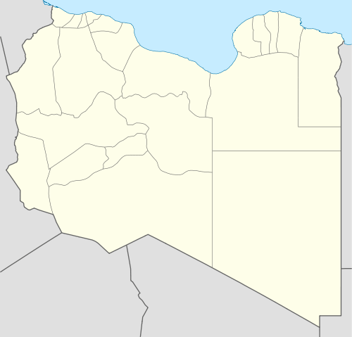 Al Adm Location in Libya | |
| Coordinates: 31°51′49″N 23°55′31″E / 31.86361°N 23.92528°ECoordinates: 31°51′49″N 23°55′31″E / 31.86361°N 23.92528°E | |
| Country |
|
| District | Butnan |
| Time zone | EET (UTC+2) |
Al Adm (also El Adem, Al `Adam, Al ‘Adam, Al `Adm, or Al ‘Aḑm) is a town in the Butnan District, Cyrenaica. It is located roughly 22 kilometres south of the district's capital Tobruk.[1]
Climate
| Climate data for Al 'Adm | |||||||||||||
|---|---|---|---|---|---|---|---|---|---|---|---|---|---|
| Month | Jan | Feb | Mar | Apr | May | Jun | Jul | Aug | Sep | Oct | Nov | Dec | Year |
| Average high °C (°F) | 17 (63) |
19 (66) |
21 (70) |
24 (76) |
28 (82) |
31 (87) |
31 (88) |
32 (89) |
29 (85) |
27 (81) |
24 (75) |
19 (66) |
25 (77) |
| Average low °C (°F) | 7 (44) |
7 (45) |
9 (48) |
12 (53) |
15 (59) |
18 (65) |
20 (68) |
21 (69) |
18 (65) |
16 (60) |
12 (54) |
8 (47) |
13 (56) |
| Average precipitation mm (inches) | 23 (0.9) |
18 (0.7) |
10 (0.4) |
0 (0) |
5 (0.2) |
0 (0) |
0 (0) |
0 (0) |
3 (0.1) |
13 (0.5) |
5 (0.2) |
20 (0.8) |
97 (3.8) |
| Source: Weatherbase [2] | |||||||||||||
Trivia
The Gamal Abdul El Nasser Air Base, once known as Royal Air Force Station El Adem is located near this town.[3]
References
- ↑ "Al `Adm, Tubruq". Libya: GoMapper. Retrieved 25 August 2014.
- ↑ "Weatherbase: Historical Weather for Al 'Adam, Libya". Weatherbase. 2011. Retrieved on November 24, 2011.
- ↑ English, Rebecca (6 February 2012). "To Her Majesty, all my thoughts and prayers are with you, Mummie: The message the Queen Mother sent her daughter as she flew home to become Queen". MailOnline. Retrieved 25 August 2014.
| Capital | ||
|---|---|---|
| Towns and villages | ||
This article is issued from Wikipedia - version of the 9/19/2016. The text is available under the Creative Commons Attribution/Share Alike but additional terms may apply for the media files.